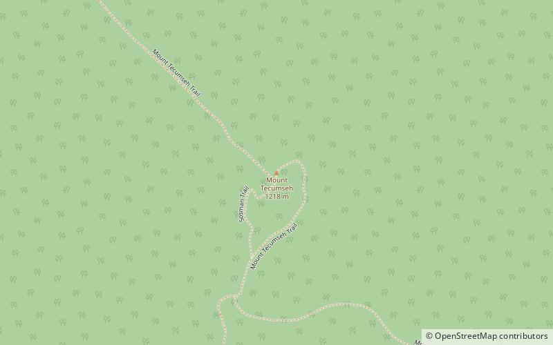
Mount Tecumseh, White Mountain National Forest
Map

Map

Facts and practical information
Mount Tecumseh is a mountain located in Grafton County, New Hampshire. The mountain is named after the Shawnee leader Tecumseh, and is a part of the White Mountains. The east side of Tecumseh drains into the Mad River; the west side drains into several brooks. All are tributaries of the Pemigewasset River, which drains into the Merrimack River and thence into the Gulf of Maine in Massachusetts. ()
Elevation: 3997 ftProminence: 1723 ftCoordinates: 43°58'0"N, 71°33'23"W
Address
Tripoli RdWhite Mountain National Forest 03251
ContactAdd
Social media
Add
Day trips
Mount Tecumseh – popular in the area (distance from the attraction)
Nearby attractions include: Loon Mountain Ski Resort, Loon Mountain, Sandwich Mountain, Dickey Mountain.


