Butchers Hill, Baltimore
Map

Map

Facts and practical information
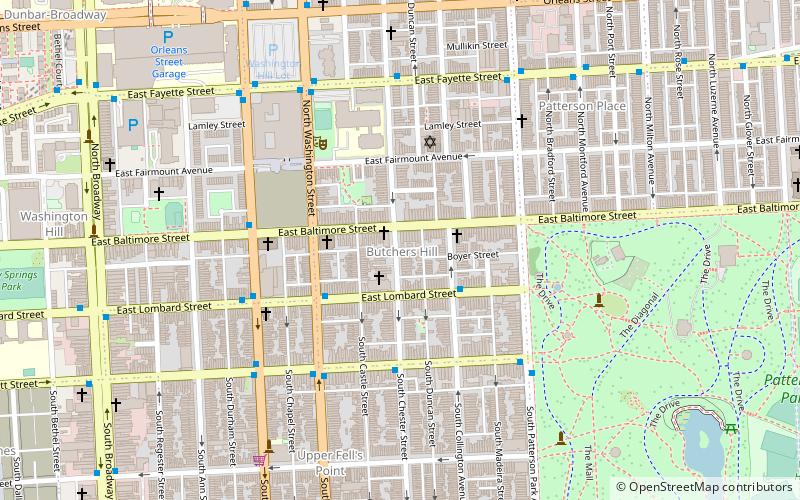
Butchers Hill is a neighborhood in Southeast Baltimore, Maryland, United States. It is north of Fells Point, east of Washington Hill, and northwest of Patterson Park. It is south of Fayette Street, west of Patterson Park Avenue, north of Pratt Street, and east of Washington Street. It is in the 21231 zip code. ()
Coordinates: 39°17'29"N, 76°35'14"W
Day trips
Butchers Hill – popular in the area (distance from the attraction)
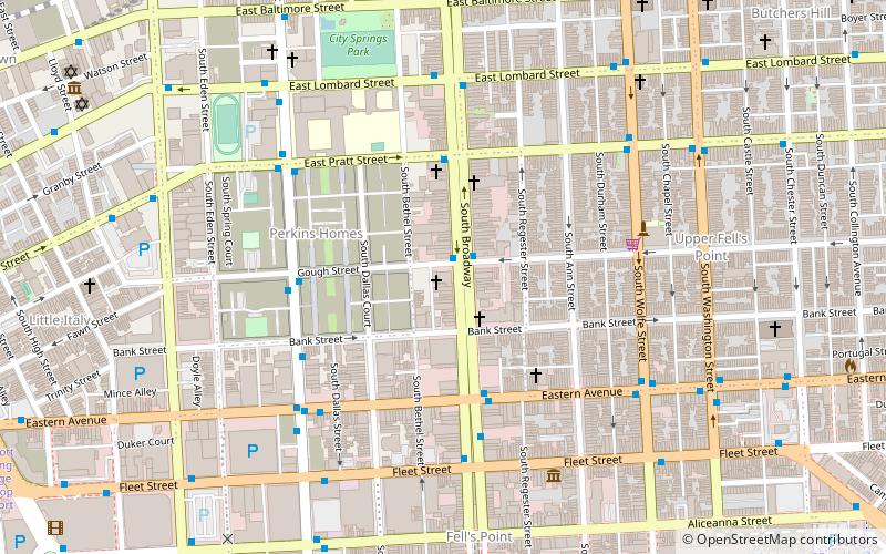
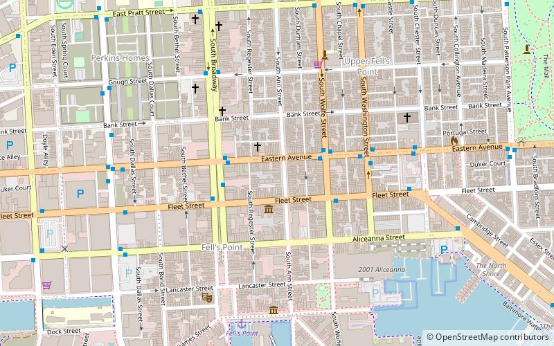
Nearby attractions include: Fell's Point, Broadway Presbyterian Church, Jewish Museum of Maryland, Patterson Park.
Frequently Asked Questions (FAQ)
Which popular attractions are close to Butchers Hill?
Nearby attractions include Bankard-Gunther Mansion, Baltimore (1 min walk), Saint Andrews Russian Orthodox Church, Baltimore (2 min walk), St. Michael's Church Complex, Baltimore (5 min walk), Upper Fell's Point, Baltimore (7 min walk).
How to get to Butchers Hill by public transport?
The nearest stations to Butchers Hill:
Bus
Metro
Bus
- Lombard Street Northbound • Lines: Green (9 min walk)
- Fayette Street Southbound • Lines: Green (11 min walk)
Metro
- Johns Hopkins Hospital • Lines: M (16 min walk)
- Shot Tower/Market Place • Lines: M (26 min walk)


