President's House, Boston
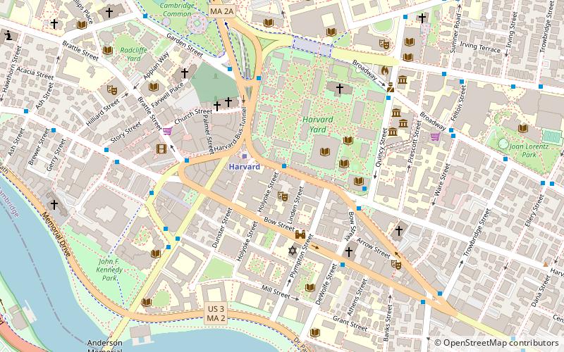
Map
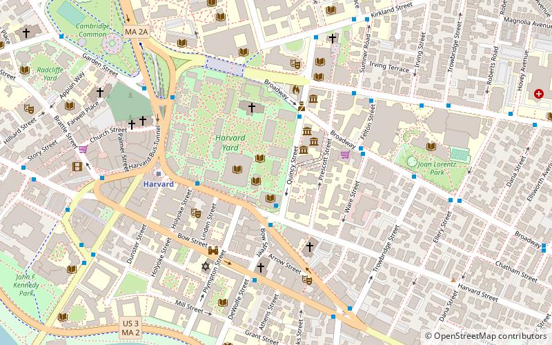
Map

Facts and practical information
President's House is a historic house at 17 Quincy Street, on the campus of Harvard University in Cambridge, Massachusetts. It served as a residence for Harvard Presidents until 1971, when Derek Bok moved his family to Elmwood. In 1995, the building was renamed, and is currently known as Loeb House. ()
Coordinates: 42°22'24"N, 71°6'55"W
Address
Cambridge (Mid-Cambridge)Boston
ContactAdd
Social media
Add
Day trips
President's House – popular in the area (distance from the attraction)
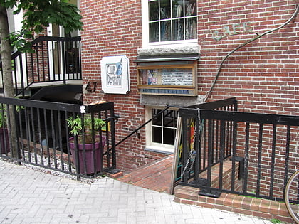
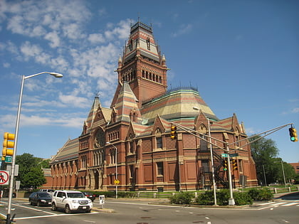
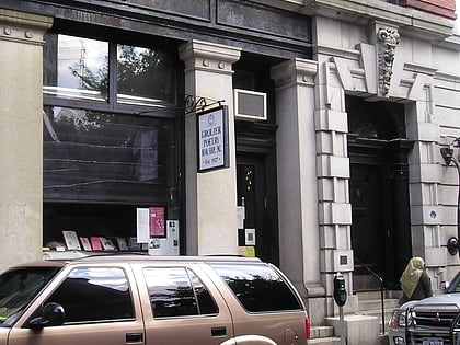
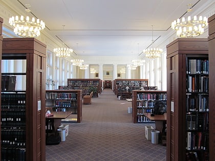
Nearby attractions include: Club Passim, Harvard Art Museums, Memorial Hall, Harvard Lampoon Building.
Frequently Asked Questions (FAQ)
Which popular attractions are close to President's House?
Nearby attractions include Houghton Library, Boston (1 min walk), Dana-Palmer House, Boston (2 min walk), Lamont Library, Boston (2 min walk), Carpenter Center for the Visual Arts, Boston (2 min walk).
How to get to President's House by public transport?
The nearest stations to President's House:
Bus
Metro
Train
Bus
- Massachusetts Ave @ Holyoke St • Lines: 1, 69 (4 min walk)
- Mt Auburn St @ DeWolfe St • Lines: 1 (5 min walk)
Metro
- Harvard • Lines: Red (5 min walk)
- Central Square • Lines: Red (21 min walk)
Train
- Porter (27 min walk)

 MBTA Subway