Myrtle Baptist Church Neighborhood Historic District, Newton
Map

Map

Facts and practical information
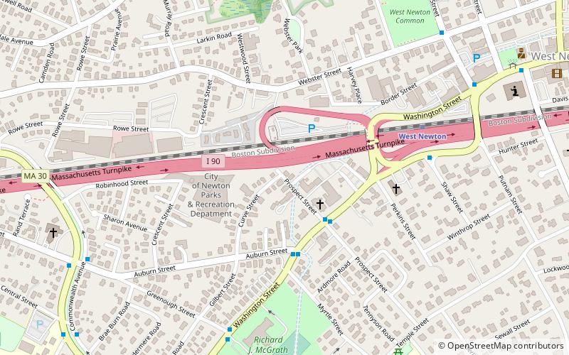
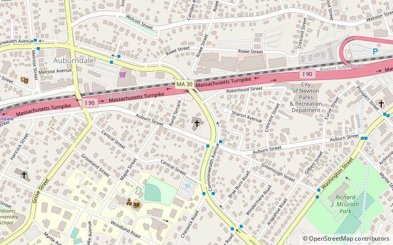
The Myrtle Baptist Church Neighborhood Historic District encompasses a historic center of the African-American community in West Newton, Massachusetts. The district includes all of Curve Street, where the Myrtle Baptist Church is located, as well as a few properties on adjacent Auburn and Prospect Streets. The district was listed on the National Register of Historic Places in 2008. ()
Built: 1874 (152 years ago)Coordinates: 42°20'48"N, 71°14'5"W
Address
Newton (West Newton)Newton
ContactAdd
Social media
Add
Day trips
Myrtle Baptist Church Neighborhood Historic District – popular in the area (distance from the attraction)
Nearby attractions include: Brae Burn Country Club, Episcopal Parish of the Messiah, First Unitarian Universalist Society in Newton, United Parish of Auburndale.
Frequently Asked Questions (FAQ)
Which popular attractions are close to Myrtle Baptist Church Neighborhood Historic District?
Nearby attractions include Putnam Street Historic District, Newton (8 min walk), Webster Park Historic District, Newton (9 min walk), Brae Burn Road Historic District, Newton (10 min walk), Episcopal Parish of the Messiah, Newton (10 min walk).
How to get to Myrtle Baptist Church Neighborhood Historic District by public transport?
The nearest stations to Myrtle Baptist Church Neighborhood Historic District:
Train
Light rail
Bus
Train
- West Newton (6 min walk)
- Auburndale (21 min walk)
Light rail
- Woodland • Lines: D (27 min walk)
- Riverside • Lines: D (29 min walk)
Bus
- Riverside • Lines: 558 (29 min walk)
- Riverside Bus Station (31 min walk)


