Tobey Homestead, Wareham
Map
![Tobey Homestead location map](https://tzmedia.b-cdn.net/media/images/static-maps/us/41_7567_-70_7142.jpg)
Map
![Tobey Homestead location map](https://tzmedia.b-cdn.net/media/images/static-maps/us/41_7567_-70_7142.jpg)
Facts and practical information
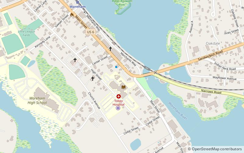
The Tobey Homestead was a historic farmhouse located at the crossroads of Main Street and Sandwich Road in Wareham, Massachusetts. ()
Built: 1825 (200 years ago)Coordinates: 41°45'24"N, 70°42'51"W
Address
Wareham
ContactAdd
Social media
Add
Day trips
Tobey Homestead – popular in the area (distance from the attraction)
Nearby attractions include: Water Wizz, National Marine Life Center, Wareham Crossing, Buzzards Bay Antique Center.