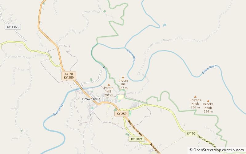
Indian Hill, Mammoth Cave National Park

Map
Facts and practical information
Indian Hill is a summit in Edmonson County, Kentucky, in the United States. With an elevation of 745 feet, Indian Hill is the 916th highest summit in the state of Kentucky. ()
Elevation: 745 ftCoordinates: 37°12'8"N, 86°15'0"W
Address
Mammoth Cave National Park
ContactAdd
Social media
Add
Day trips
Indian Hill – popular in the area (distance from the attraction)
Nearby attractions include: Brownsville.
