The Pavilion at Pan Am, Indianapolis
Map
Facts and practical information
The Pavilion at Pan Am, originally Pan American Arena, was a twin rink ice hockey and skating arena located in downtown Indianapolis, Indiana. The arena is now a live music venue and part of the broader Pan American Plaza, which was built in commemoration of the 1987 Pan American Games held in Indianapolis. ()
Opened: 1987 (39 years ago)Capacity: 1000Coordinates: 39°45'49"N, 86°9'39"W
Address
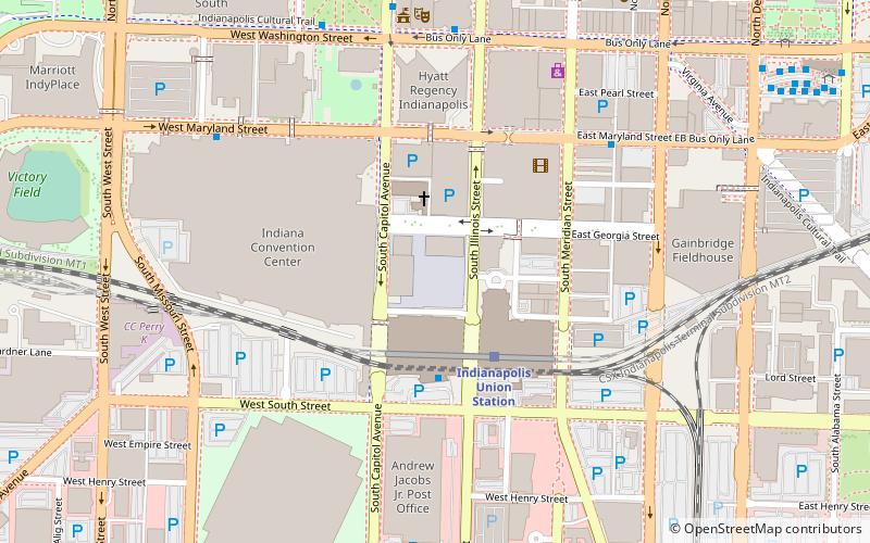
201 S Capitol AveDowntown Indianapolis (Wholesale District)Indianapolis
Contact
Social media
Add
Day trips
The Pavilion at Pan Am – popular in the area (distance from the attraction)
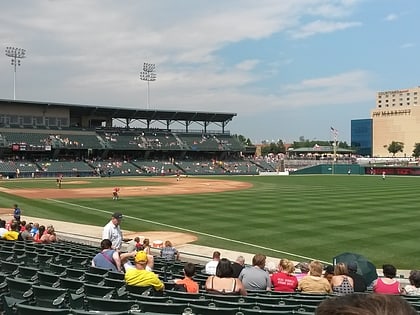
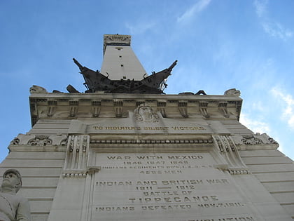
Nearby attractions include: Circle Centre Mall, Victory Field, Soldiers and Sailors Monument, Lucas Oil Stadium.
Frequently Asked Questions (FAQ)
Which popular attractions are close to The Pavilion at Pan Am?
Nearby attractions include St. John the Evangelist Catholic Church, Indianapolis (3 min walk), Wholesale District, Indianapolis (4 min walk), August Sommer House, Indianapolis (5 min walk), Indiana Convention Center, Indianapolis (5 min walk).
How to get to The Pavilion at Pan Am by public transport?
The nearest stations to The Pavilion at Pan Am:
Train
Bus
Train
- Indianapolis Union Station (3 min walk)
- Indiana University/Riley (33 min walk)
Bus
- Indianapolis Union Station (3 min walk)
- T • Lines: 16, 2 (11 min walk)

