Young Lick, Tray Mountain Wilderness

Gallery (1)
Map
Map
Facts and practical information
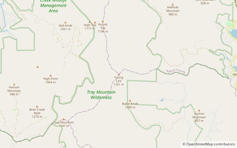
Young Lick is a mountain that lies in three Georgia counties, Habersham, Rabun and Towns. Its summit - Young Lick Knob, elevation 3,809 feet, is one of Habersham County's highest points. Young Lick Knob is crossed by the Appalachian Trail. ()
Elevation: 3809 ftProminence: 280 ftCoordinates: 34°49'22"N, 83°39'9"W
Address
Tray Mountain Wilderness
ContactAdd
Social media
Add
Day trips


