Cooper Creek Park, Columbus
Map
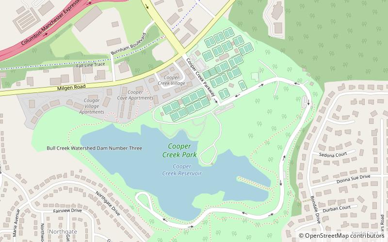
Map

Facts and practical information
Cooper Creek Park (address: 4816 Milgen Rd) is a place located in Columbus (Georgia state) and belongs to the category of park, relax in park.
It is situated at an altitude of 322 feet, and its geographical coordinates are 32°30'45"N latitude and 84°54'44"W longitude.
Among other places and attractions worth visiting in the area are: Peachtree Mall (shopping, 43 min walk), Columbus State University (universities and schools, 47 min walk), Green Island Hills (neighbourhood, 55 min walk).
Elevation: 322 ft a.s.l.Coordinates: 32°30'45"N, 84°54'44"W
Address
4816 Milgen RdEast ColumbusColumbus 31907
Contact
(706) 317-4186
Social media
Add
Day trips
Cooper Creek Park – popular in the area (distance from the attraction)
Nearby attractions include: Peachtree Mall, Columbus Park Crossing, Columbus Museum, Springer Opera House.


