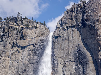
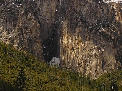
Salathé Wall, Yosemite National Park
Map
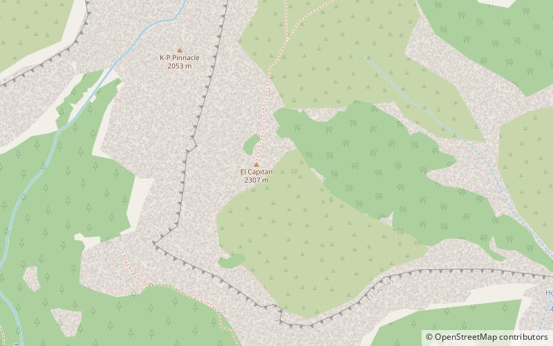
Map

Facts and practical information
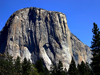
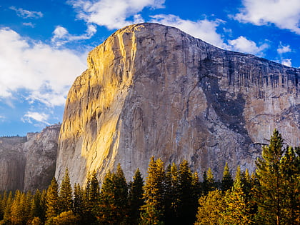
The Salathé Wall is one of the original technical climbing routes up El Capitan, a 3,000-foot high granite monolith in Yosemite National Park. The Salathé Wall was named by Yvon Chouinard in honor of John Salathé, a pioneer of rock climbing in Yosemite. The route is recognized in the historic climbing text Fifty Classic Climbs of North America and considered a classic around the world. Due to its length, difficulty, rock quality and variety of climbing, it is often called the world's "greatest" rock climb. ()
Coordinates: 37°44'2"N, 119°38'13"W
Address
Yosemite National Park
ContactAdd
Social media
Add
Day trips
Salathé Wall – popular in the area (distance from the attraction)
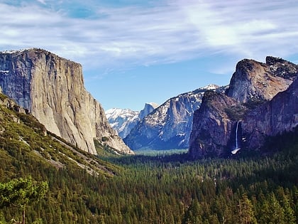
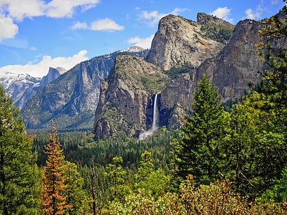
Nearby attractions include: Yosemite Valley, Bridalveil Fall, El Capitan, Horsetail Fall.
Frequently Asked Questions (FAQ)
Which popular attractions are close to Salathé Wall?
Nearby attractions include El Capitan, Yosemite National Park (15 min walk), Horsetail Fall, Yosemite West (16 min walk), Ribbon Fall, Yosemite West (16 min walk).
How to get to Salathé Wall by public transport?
The nearest stations to Salathé Wall:
Bus
Bus
- El Cap Shuttle Stop #E4 • Lines: El Capitan Shuttle (20 min walk)
