Helen Putnam Regional Park, Petaluma
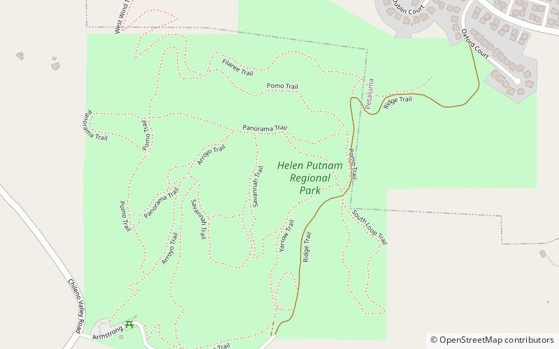
Map

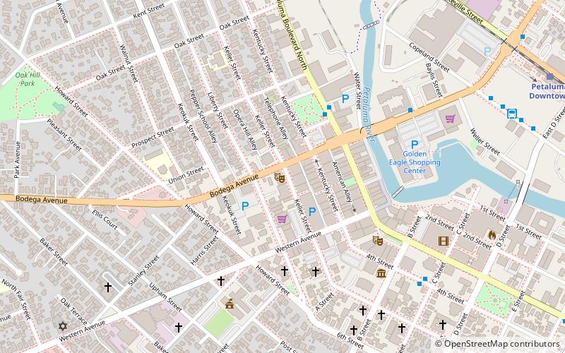
Map

Facts and practical information
Helen Putnam Regional Park is a regional park southwest of Petaluma in California, U.S.A. which is maintained by the Sonoma County Regional Parks Department. It covers an area of 216 acres. The park entrance is at 411 Chileno Valley Road. ()
Created: 1985Elevation: 509 ft a.s.l.Coordinates: 38°12'59"N, 122°39'32"W
Day trips
Helen Putnam Regional Park – popular in the area (distance from the attraction)
Nearby attractions include: Rancho Petaluma Adobe, Phoenix Theater, Free Public Library of Petaluma, Petaluma Wildlife Museum.
Frequently Asked Questions (FAQ)
How to get to Helen Putnam Regional Park by public transport?
The nearest stations to Helen Putnam Regional Park:
Bus
Bus
- Petaluma Depot • Lines: 101, 101X, 72, 74 (40 min walk)


