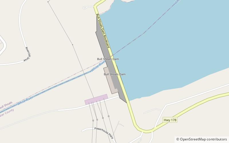
Bull Shoals Dam, Bull Shoals
Map

Map

Facts and practical information
Bull Shoals Dam is a concrete gravity dam on the White River in northern Arkansas in the United States. The dam lies on the border of Marion and Baxter Counties, and forms Bull Shoals Lake, which extends well northwest into Missouri. Its main purposes are hydroelectricity production and flood control. ()
Day trips
Bull Shoals Dam – popular in the area (distance from the attraction)
Nearby attractions include: Bull Shoals Caverns, Bull Shoals-White River State Park.


