Sugarloaf Mountain, Hummingbird Springs Wilderness
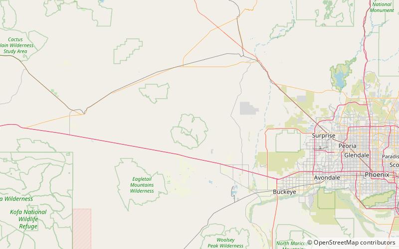
Map

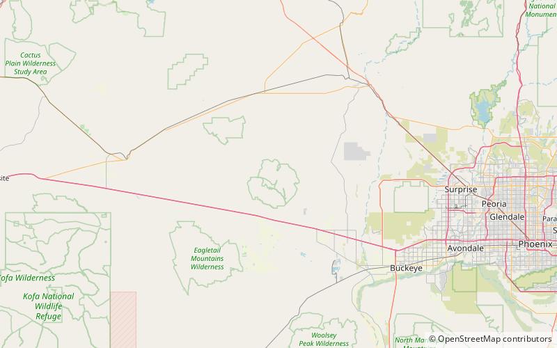
Map

Facts and practical information
Sugarloaf Mountain, of Arizona is the tallest peak in the arid, low elevation Hummingbird Springs Wilderness of northwest Maricopa County, and about 65 miles west of Phoenix. It rises in the Tonopah Desert about 10 miles northwest of the Belmont Mountains. Hummingbird Springs Wilderness is just north of the Big Horn Mountains Wilderness. The two are separated only by a jeep trail that leads to Hummingbird Springs. ()
Elevation: 3420 ftProminence: 1188 ftCoordinates: 33°40'41"N, 113°3'7"W
Day trips
Sugarloaf Mountain – popular in the area (distance from the attraction)
Nearby attractions include: Belmont Mountains, Big Horn Mountains Wilderness.


