Lee Valley Lake, Apache–Sitgreaves National Forests

Map
Facts and practical information
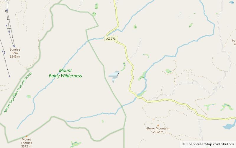
Lee Valley Lake is Arizona's highest elevation reservoir, situated at 9,420 feet in the Apache-Sitgreaves National Forests near Mount Baldy. It is located approximately 35 miles from Pinetop-Lakeside, connected by Arizona highways 260 and 273 and forest road 113. Access is restricted in the winter when roads are closed due to snow, generally December to early April. ()
Average depth: 10 ftMaximum depth: 20 ftCoordinates: 33°56'32"N, 109°29'56"W
Address
Apache–Sitgreaves National Forests
ContactAdd
Social media
Add
Day trips
Lee Valley Lake – popular in the area (distance from the attraction)
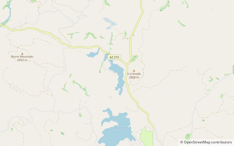
Nearby attractions include: Sunrise Park Resort, Butterfly Lodge, Big Lake, Crescent Lake.


