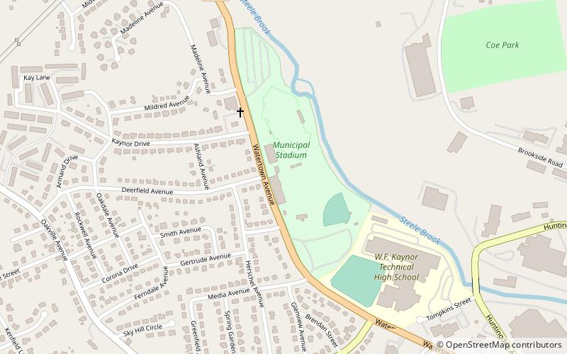
Municipal Stadium, Waterbury
Map
Facts and practical information
Municipal Stadium is a stadium in Waterbury, Connecticut, United States. The stadium was built in 1930 originally as a dog track which attributes to its unique, if not odd, layout. It holds 6,000 people. ()
Opened: 1930 (96 years ago)Capacity: 6000Coordinates: 41°34'40"N, 73°4'13"W
Address
Brookside Industrial ParkWaterbury
ContactAdd
Social media
Add
Getting there by public transportation
Public transportation stops near this location
- Bus
 Bus
Bus
- Calculate routeNorth East Transportation 33 min walk
- Calculate routeWillow & Ridgewood 39 min walk
Day trips


Frequently Asked Questions (FAQ)
How to get to Municipal Stadium by public transport?
The nearest stations to Municipal Stadium:
Bus
Bus
- North East Transportation • Lines: 417 (33 min walk)
- Willow & Ridgewood • Lines: 411 (39 min walk)