Harry S. Truman Historic District, Independence

Facts and practical information
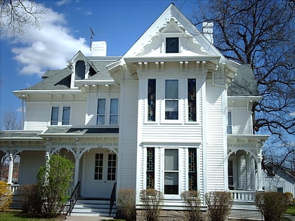
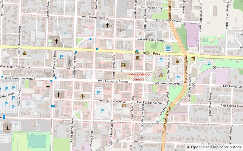
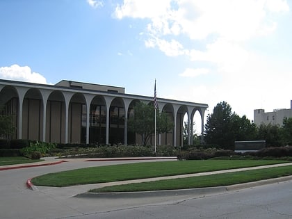
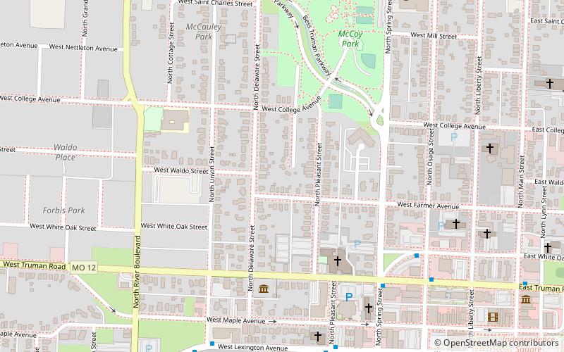
The Harry S. Truman Historic District is a National Historic Landmark District encompassing sites closely associated with US President Harry S. Truman in Independence, Missouri. It includes the Truman Home at 219 North Delaware, Truman's home for much of his adult life and now a centerpiece of the Harry S. Truman National Historic Site, and the Truman Presidential Library. The district was listed on the National Register of Historic Places in 1971, and was designated a National Historic Landmark in 1974. When first listed, the district included only the two buildings and a corridor joining them. It was substantially enlarged in 2011 to include more sites and the environment in which Truman operated while living in Independence. ()
McCoyIndependence
Harry S. Truman Historic District – popular in the area (distance from the attraction)
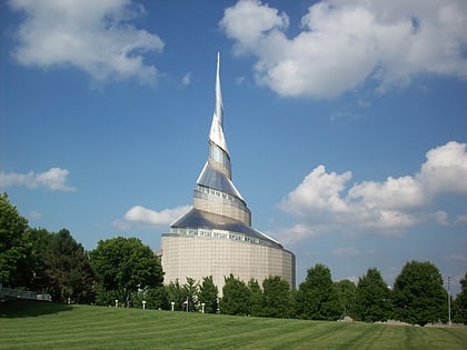
Nearby attractions include: Harry S. Truman Presidential Library and Museum, Community of Christ Temple, Temple Lot, Truman Home.
Frequently Asked Questions (FAQ)
Which popular attractions are close to Harry S. Truman Historic District?
How to get to Harry S. Truman Historic District by public transport?
Bus
- Spring at Truman • Lines: 24 (7 min walk)
- White Oak at Osage • Lines: 24 (7 min walk)
Train
- Independence (20 min walk)


