North End, Boston
Map
Gallery
Facts and practical information
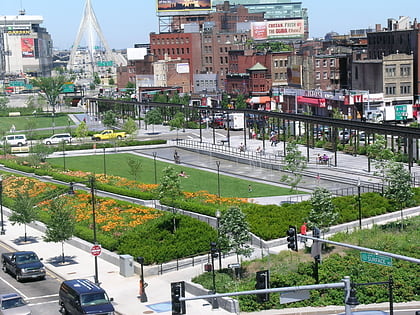
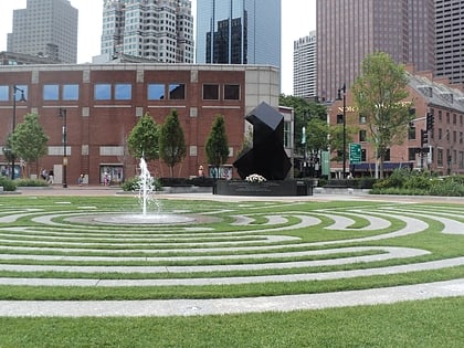
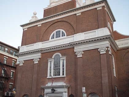
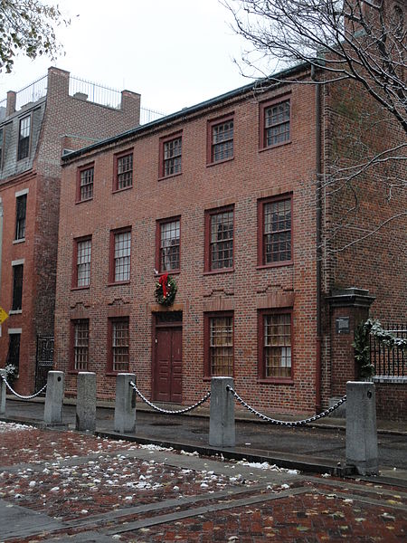
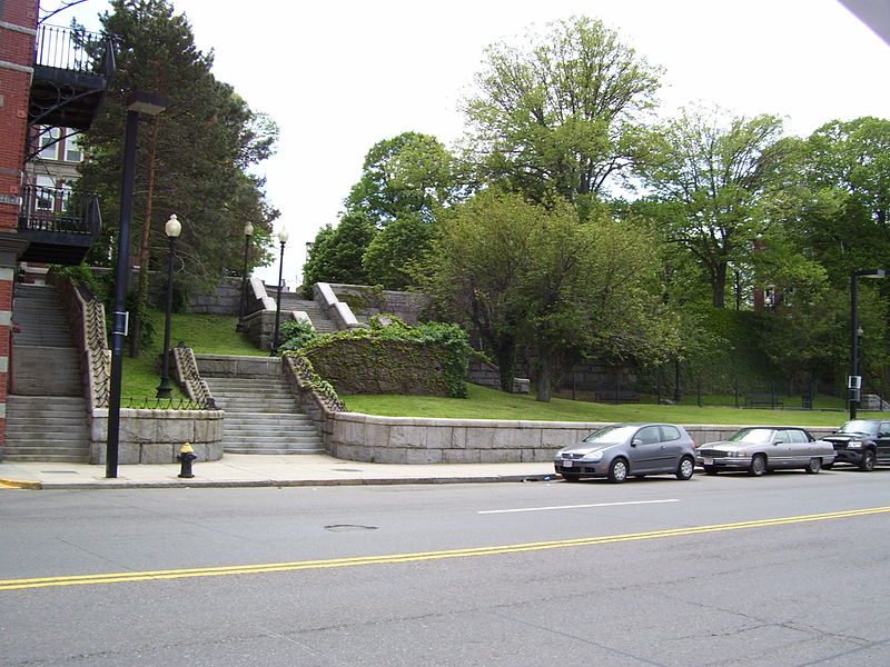
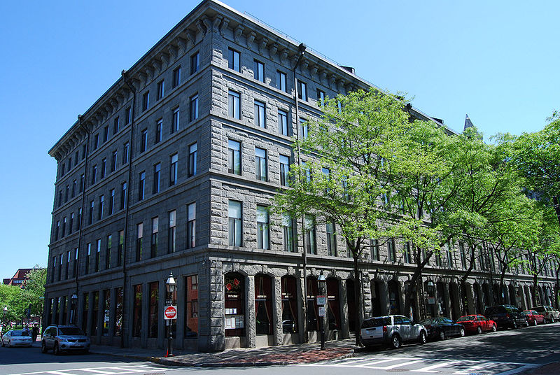
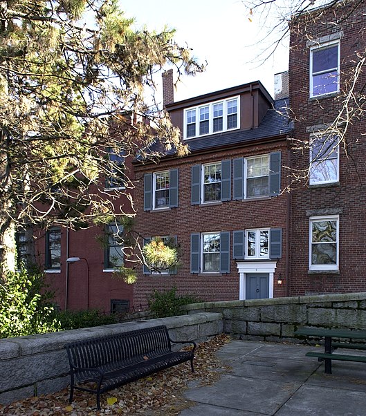
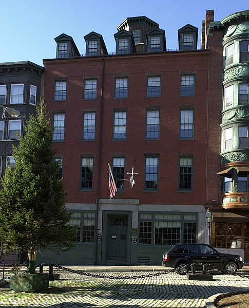
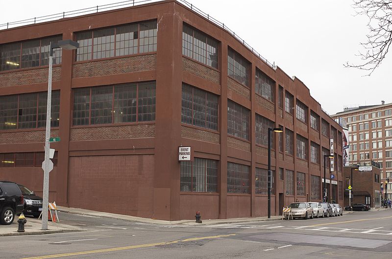
The North End is a neighborhood of Boston, Massachusetts, United States. It has the distinction of being the city's oldest residential community, where Europeans have continuously inhabited since it was colonized in the 1630s. Though small, only 0.36 square miles, the neighborhood has nearly one hundred establishments and a variety of tourist attractions. It is known for its Italian American population and Italian-themed restaurants. The district is a pending Boston Landmark. ()
Day trips
North End – popular in the area (distance from the attraction)
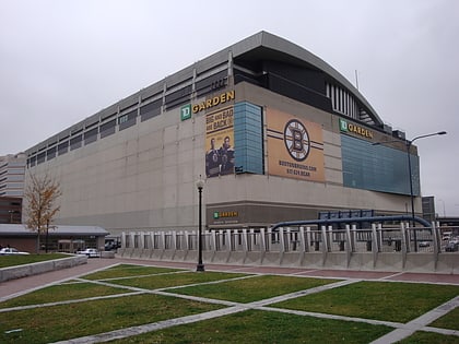
Nearby attractions include: Quincy Market, Faneuil Hall, TD Garden, Haymarket Open-Air Market.
Frequently Asked Questions (FAQ)
Which popular attractions are close to North End?
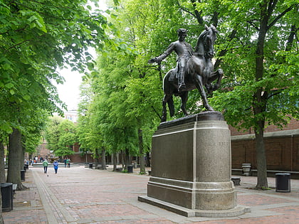
Nearby attractions include St. Leonard's Church, Boston (2 min walk), Paul Revere Mall, Boston (2 min walk), Old North Memorial Garden, Boston (2 min walk), Old North Church, Boston (3 min walk).
How to get to North End by public transport?
The nearest stations to North End:
Metro
Light rail
Train
Bus
Metro
- Haymarket • Lines: Orange (7 min walk)
- North Station • Lines: Orange (8 min walk)
Light rail
- Haymarket • Lines: C, E (7 min walk)
- North Station • Lines: C, E (8 min walk)
Train
- Boston North Station (11 min walk)
- Boston South Station (24 min walk)
Bus
- Federal St @ Franklin St • Lines: 504 (18 min walk)
- Tremont St opp Temple Pl • Lines: 55 (20 min walk)



 MBTA Subway

