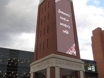
Ohio Expo Center and State Fairgrounds, Columbus
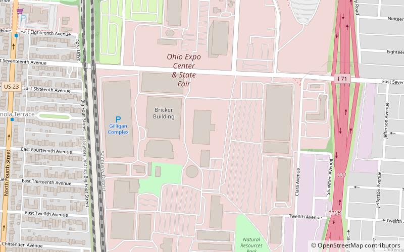
Map
Facts and practical information
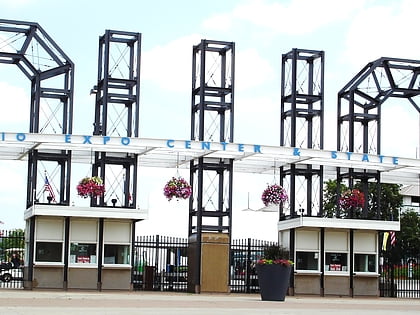
The Ohio Expo Center and State Fairgrounds is an exhibition center and fairground site, located in Columbus, Ohio. The site has been home to the Ohio State Fair since 1886. ()
Coordinates: 39°59'57"N, 82°59'26"W
Day trips
Ohio Expo Center and State Fairgrounds – popular in the area (distance from the attraction)
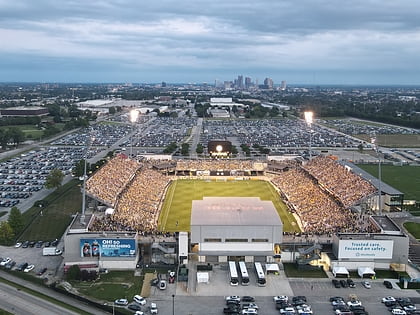
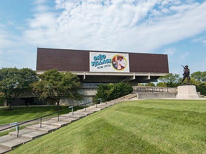
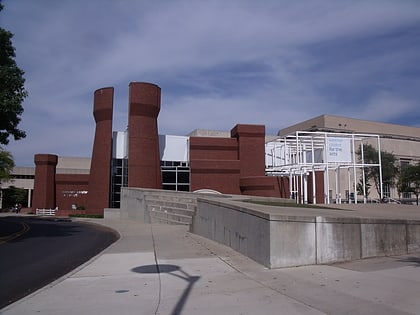
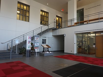
Nearby attractions include: Taft Coliseum, Historic Crew Stadium, Ohio History Center, Wexner Center for the Arts.
Frequently Asked Questions (FAQ)
Which popular attractions are close to Ohio Expo Center and State Fairgrounds?
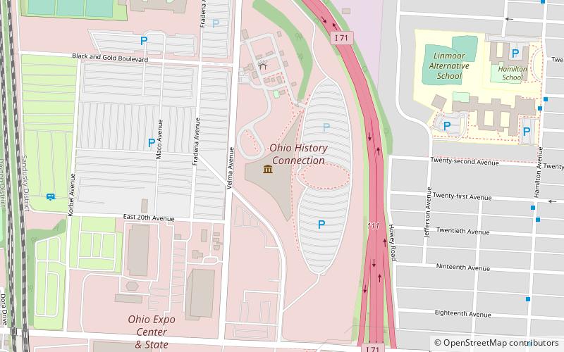
Nearby attractions include Ohio History Connection, Columbus (11 min walk), Ohio History Center, Columbus (11 min walk), Ohio Village, Columbus (16 min walk), New Indianola Historic District, Columbus (16 min walk).
How to get to Ohio Expo Center and State Fairgrounds by public transport?
The nearest stations to Ohio Expo Center and State Fairgrounds:
Bus
Bus
- E 11th Ave & Daugherty Ave • Lines: 8 (10 min walk)
- 15th Avenue • Lines: 4, Er (13 min walk)
