Burnham Pavilion, Palo Alto
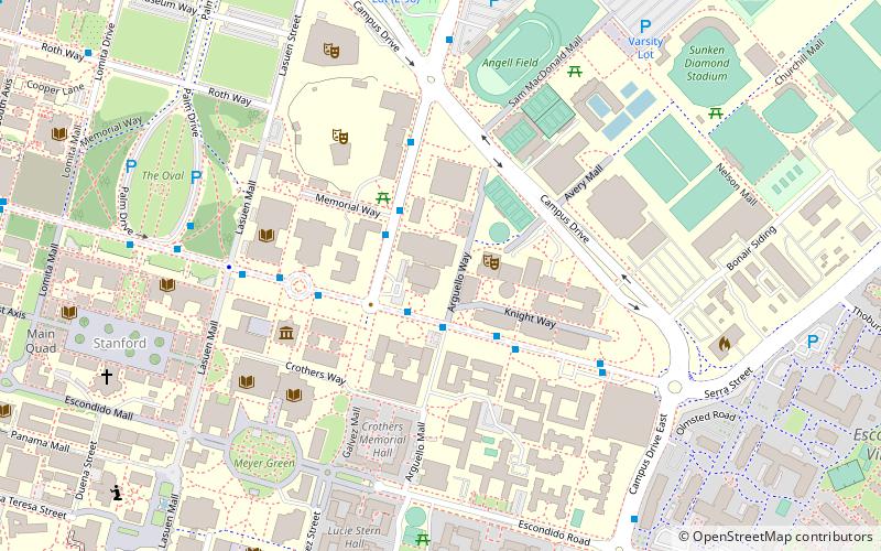
Map

Map

Facts and practical information
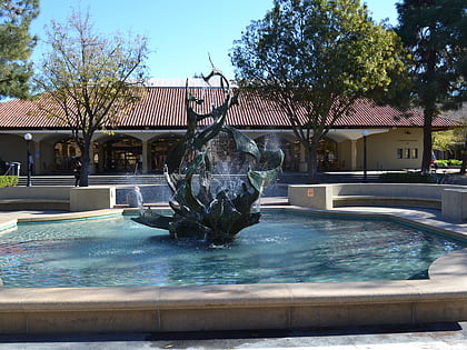
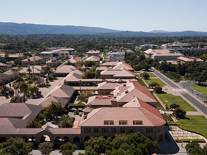
Burnham Pavilion is a multi-purpose arena in Stanford, California. It was built in 1921–22 at a cost of $153,000 by Bakewell and Brown and originally named the "Stanford Pavilion". ()
Capacity: 1436Coordinates: 37°25'43"N, 122°9'50"W
Address
615 Serra StreetStanfordPalo Alto
ContactAdd
Social media
Add
Day trips
Burnham Pavilion – popular in the area (distance from the attraction)
Nearby attractions include: Stanford Memorial Church, Stanford Shopping Center, Cantor Arts Center, White Memorial Fountain.
Frequently Asked Questions (FAQ)
Which popular attractions are close to Burnham Pavilion?
Nearby attractions include Stanford Memorial Auditorium, Palo Alto (3 min walk), Tanner Fountain, Palo Alto (4 min walk), Toyon Hall, Palo Alto (5 min walk), Hoover Tower, Palo Alto (5 min walk).
How to get to Burnham Pavilion by public transport?
The nearest stations to Burnham Pavilion:
Bus
Train
Bus
- Burnham Pavilion • Lines: X (2 min walk)
- Encina Hall • Lines: Y (2 min walk)
Train
- Stanford (21 min walk)
- Palo Alto (27 min walk)


