Chula Vista City Hall, Chula Vista
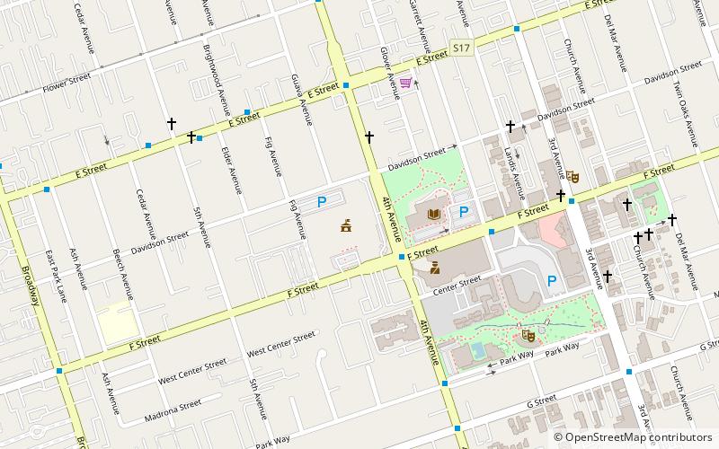
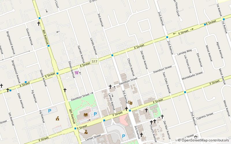
Map
Facts and practical information
The Chula Vista City Hall is the seat of the government of the city of Chula Vista, California. The city hall was built in 1923 on Third Avenue in the recently incorporated city, and it served the city until it was replaced by a new structure in 1951. The city hall initially also served as the headquarters for the fire and police departments. It houses the five members of City Council, which includes the mayor. ()
Coordinates: 32°38'27"N, 117°5'6"W
Address
West Chula Vista (Central Chula Vista)Chula Vista
ContactAdd
Social media
Add
Getting there by public transportation
Public transportation stops near this location
- Bus
- Light rail
 Bus
Bus
- Calculate routeBayfront/E Street 21 min walk
- Calculate routeE Street Transit Center 21 min walk
- Calculate routeH Street Transit Center 25 min walk
- Calculate routeBayfront/E Street 21 min walk
- Calculate routeH Street 25 min walk
Day trips
Chula Vista City Hall – popular in the area (distance from the attraction)
Nearby attractions include: Westfield Plaza Bonita, Chula Vista Center, Community Congregational Church of Chula Vista, Roman Catholic Diocese of San Diego.


Frequently Asked Questions (FAQ)
Which popular attractions are close to Chula Vista City Hall?
Nearby attractions include The Vogue Theater, Chula Vista (8 min walk), Community Congregational Church of Chula Vista, Chula Vista (9 min walk), Roman Catholic Diocese of San Diego, Chula Vista (17 min walk).
How to get to Chula Vista City Hall by public transport?
The nearest stations to Chula Vista City Hall:
Bus
Light rail
Bus
- Bayfront/E Street (21 min walk)
- E Street Transit Center • Lines: 704, 705 (21 min walk)
Light rail
- Bayfront/E Street • Lines: 510 (21 min walk)
- H Street • Lines: 510 (25 min walk)