Petit Bois Island, Gulf Islands National Seashore

Gallery (2)
Map
Map
Gallery
Facts and practical information
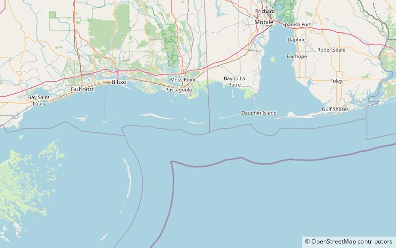
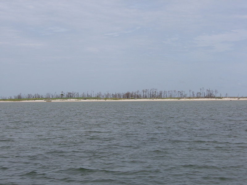
Petit Bois Island is a barrier island off the Mississippi Gulf Coast, south of Pascagoula, and one of the Mississippi–Alabama barrier islands. It is part of Jackson County, Mississippi. Since 1971 it has been a part of Gulf Islands National Seashore, administered by the U.S. National Park Service. ()
Alternative names: Archipelago: Mississippi–Alabama barrier islandsCoordinates: 30°11'55"N, 88°27'4"W
Address
Gulf Islands National Seashore
ContactAdd
Social media
Add