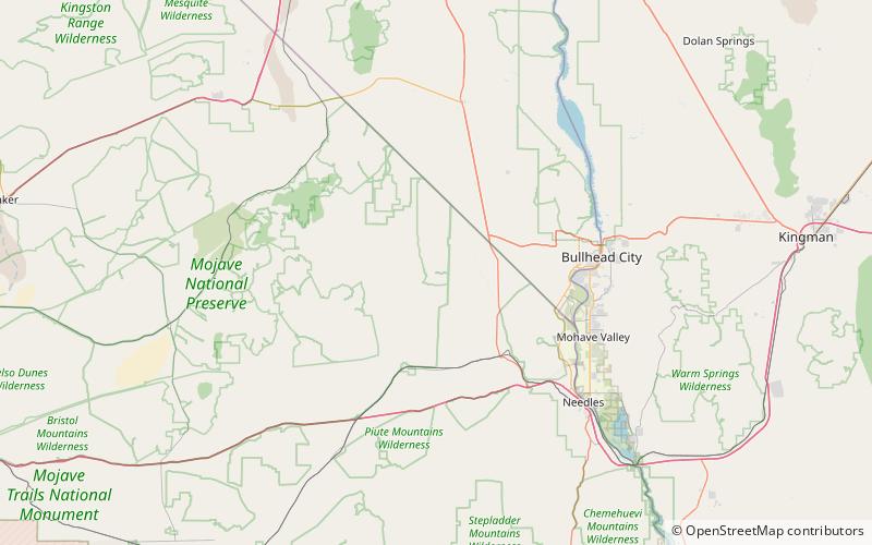
Fort Piute, Mojave National Preserve

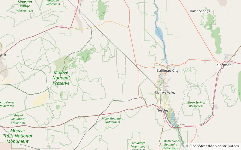
Map
Facts and practical information
Fort Piute, originally named Fort Beale, was a post first established by Captain James H. Carleton, of the 1st Dragoons. Fort Piute lies at the elevation 2,828 feet / 862 meters near the place where the surface flow of Piute Creek ends, after running down stream from Piute Spring creating an oasis. Where the surface flow of the creek ends it descends into the soil of the wash of Piute Creek that then turns to run to the southwest towards the Colorado River. ()
Coordinates: 35°6'54"N, 114°59'6"W
Address
Mojave National Preserve
ContactAdd
Social media
Add
Day trips
Fort Piute – popular in the area (distance from the attraction)
Nearby attractions include: Piute Spring.
