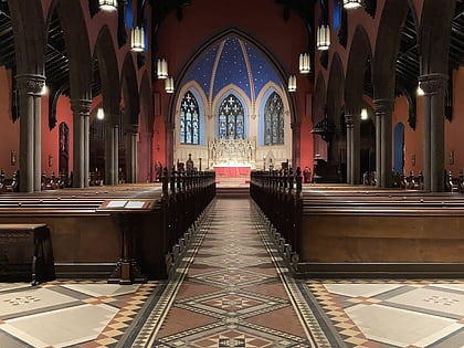
Center Stage, Baltimore
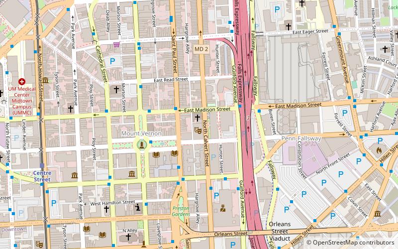
Map
Map

Facts and practical information
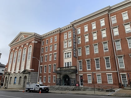
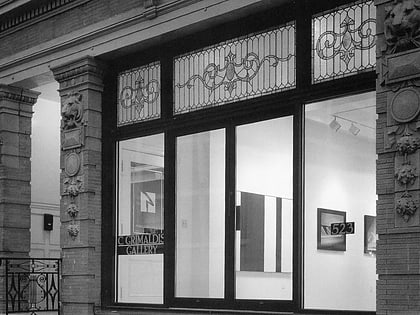
Center Stage is the state theater of Maryland, and Baltimore's largest professional producing theater. ()
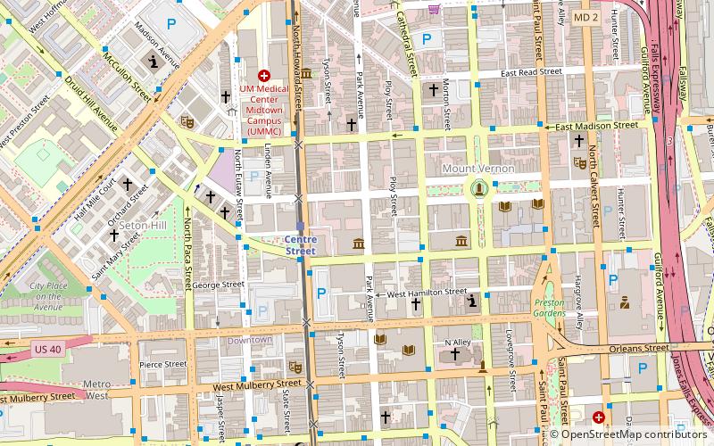
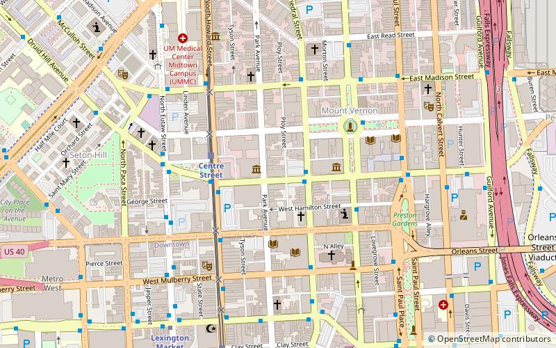
Coordinates: 39°17'54"N, 76°36'48"W
Day trips
Center Stage – popular in the area (distance from the attraction)
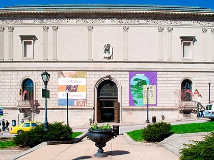
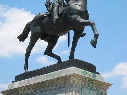
Nearby attractions include: Walters Art Museum, Washington Monument, Basilica of the National Shrine of the Assumption of the Blessed Virgin Mary, Joseph Meyerhoff Symphony Hall.
Frequently Asked Questions (FAQ)
When is Center Stage open?
Center Stage is open:
- Monday 10 am - 6 pm
- Tuesday 10 am - 6 pm
- Wednesday 10 am - 6 pm
- Thursday 10 am - 6 pm
- Friday 10 am - 6 pm
- Saturday 12 pm - 6 pm
- Sunday 12 pm - 6 pm
Which popular attractions are close to Center Stage?
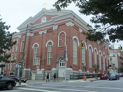
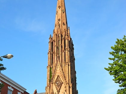
Nearby attractions include St. Ignatius Church, Baltimore (1 min walk), George Peabody Library, Baltimore (3 min walk), Mount Vernon Place United Methodist Church and Asbury House, Baltimore (3 min walk), Roger B. Taney Sculpture, Baltimore (4 min walk).
How to get to Center Stage by public transport?
The nearest stations to Center Stage:
Bus
Light rail
Metro
Train
Bus
- Saint Paul Street & East Madison Street • Lines: Purple (2 min walk)
- Saint Paul Street Between Monument Street & Centre Street Southbound • Lines: Bus, Purple (3 min walk)
Light rail
- Mount Vernon • Lines: Lr (10 min walk)
- Lexington Market • Lines: Lr (14 min walk)
Metro
- Lexington Market • Lines: M (15 min walk)
- State Center/Cultural Center • Lines: M (15 min walk)
Train
- Baltimore Penn Station (17 min walk)
- Baltimore Camden Station (27 min walk)
