Ewing-Snell Ranch, Bighorn Canyon National Recreation Area

Gallery (1)
Map
Map
Facts and practical information
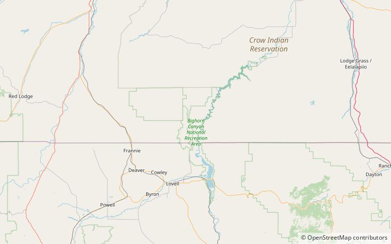
The Ewing-Snell Ranch was established between 1896 and 1898 by Erastus Ewing in Carbon County, Montana, on Layout Creek between Bighorn Canyon and the Pryor Mountains in a region called Dryhead Country. Ewing took up ranching after failing as a gold miner. ()
Built: 1896 (130 years ago)Coordinates: 45°5'2"N, 108°15'50"W
Address
Bighorn Canyon National Recreation Area
ContactAdd
Social media
Add
Day trips


