Pacific Pines State Park

Gallery (1)
Map
Map
Facts and practical information
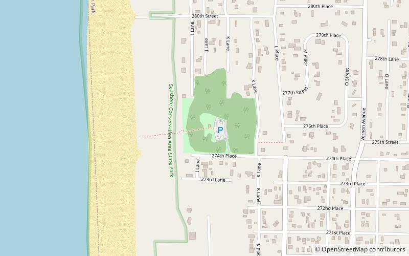
Pacific Pines State Park is a 10-acre Washington state park on the Long Beach Peninsula, just north of Ocean Park. From the main parking area, there is a narrow, sandy footpath that leads through a grove of Pacific Ponderosa pine trees to the beach. The park offers picnicking, beachcombing, fishing, clamming, and crabbing. ()
Coordinates: 46°30'6"N, 124°3'22"W
Day trips


