Pelham Country Club, New Rochelle
Map
Facts and practical information
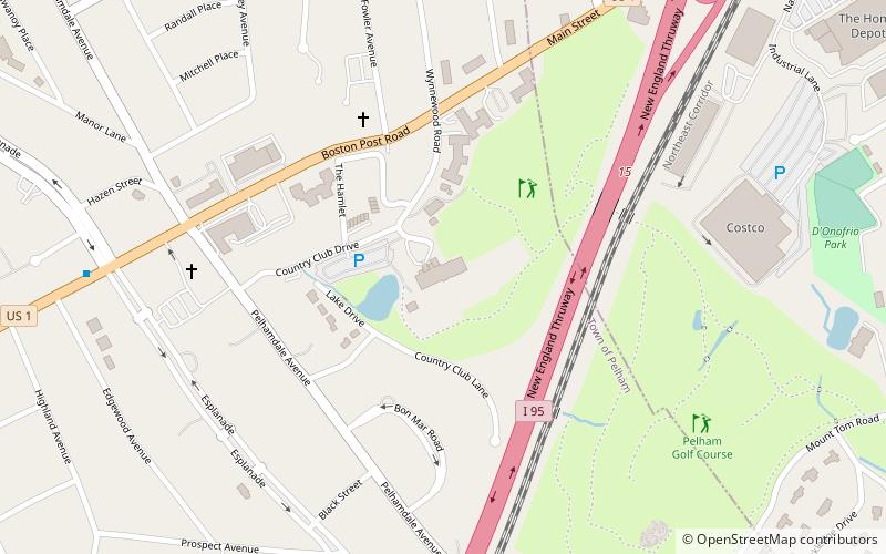
Pelham Country Club is a country club located on the border of Pelham Manor and New Rochelle in Westchester County, New York. The club hosted the PGA Championship in 1923, which Gene Sarazen won, 3 to 1. ()
Established: 1921 (105 years ago)Coordinates: 40°53'43"N, 73°48'3"W
Getting there by public transportation
Public transportation stops near this location
- Bus
- Train
 Bus
Bus
- Calculate routeRopes Avenue & Boston Road 27 min walk
- Calculate routeBoston Road & Ropes Avenue 28 min walk
- Calculate routePelham 29 min walk
- Calculate routeNew Rochelle 36 min walk
Day trips
Pelham Country Club – popular in the area (distance from the attraction)
Nearby attractions include: Beechwoods Cemetery, Picture House Regional Film Center, Trinity-St. Paul's Episcopal Church, Holy Sepulchre Cemetery.


Frequently Asked Questions (FAQ)
Which popular attractions are close to Pelham Country Club?
Nearby attractions include Manor Club, New Rochelle (8 min walk), Pelham Manor, New Rochelle (10 min walk), Holy Sepulchre Cemetery, New Rochelle (16 min walk), Beechwoods Cemetery, New Rochelle (20 min walk).
How to get to Pelham Country Club by public transport?
The nearest stations to Pelham Country Club:
Bus
Train
Bus
- Ropes Avenue & Boston Road • Lines: Bx16 (27 min walk)
- Boston Road & Ropes Avenue • Lines: Bx16 (28 min walk)
Train
- Pelham (29 min walk)
- New Rochelle (36 min walk)