Port of Corpus Christi, Corpus Christi
Map

Map

Facts and practical information
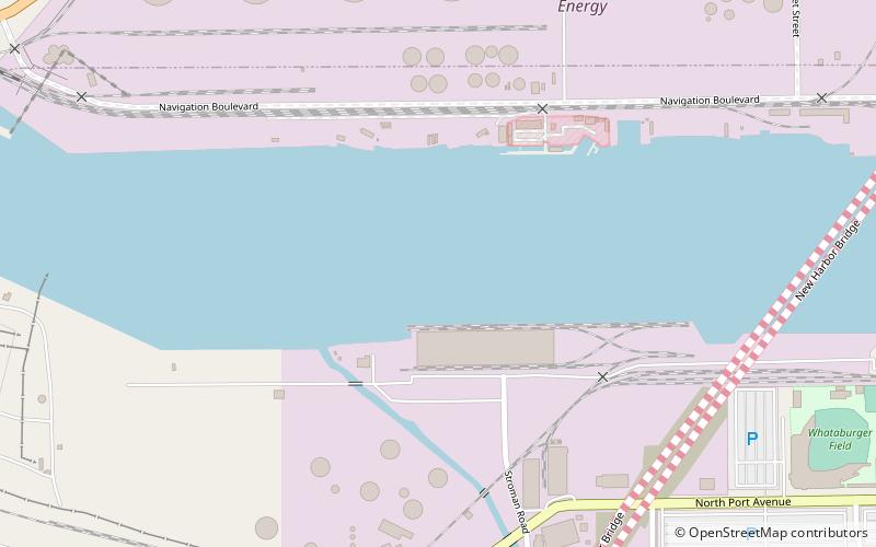
The Port of Corpus Christi is the third-largest port in the United States in total tonnage. The Port of Corpus Christi is located on Corpus Christi Bay in the western Gulf of Mexico, with a straight 45-foot-deep channel. The port is stationed near downtown Corpus Christi in Nueces County, Texas, but is not part of the city or the county. The Port of Corpus Christi operates without receiving any city, county, or state tax dollars. ()
Coordinates: 27°48'46"N, 97°24'26"W
Day trips
Port of Corpus Christi – popular in the area (distance from the attraction)
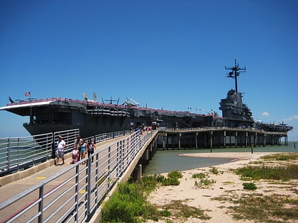
Nearby attractions include: USS Lexington, Texas State Aquarium, Art Museum of South Texas, Whataburger Field.
Frequently Asked Questions (FAQ)
Which popular attractions are close to Port of Corpus Christi?
Nearby attractions include Texas State Museum of Asian Cultures and Education Center, Corpus Christi (19 min walk), Corpus Christi Harbor Bridge, Corpus Christi (19 min walk), Corpus Christi Museum of Science and History, Corpus Christi (20 min walk), Concrete Street Amphitheater, Corpus Christi (23 min walk).
How to get to Port of Corpus Christi by public transport?
The nearest stations to Port of Corpus Christi:
Bus
Bus
- Ortiz Port Facility • Lines: 76, 78 (17 min walk)
- Kennedy @ John • Lines: 12 (18 min walk)


