Port of Jacksonville, Jacksonville
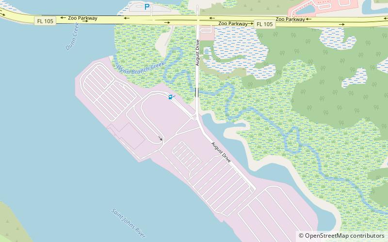
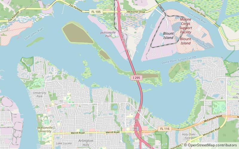
Map
Gallery
Facts and practical information
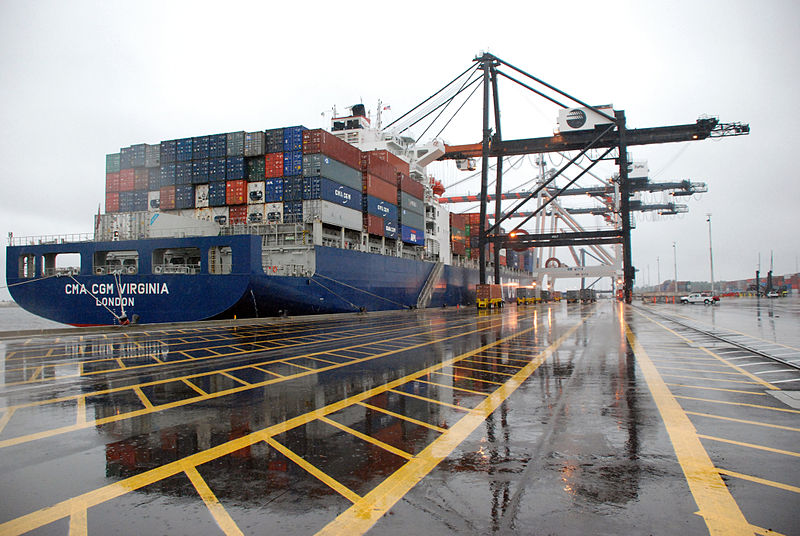
The Port of Jacksonville is an international trade seaport on the St. Johns River in Jacksonville, Florida. The 14th largest container port in the United States, it carries about 18 million short tons of cargo each year and has an annual economic impact of over $31 billion, including 138,500 jobs across the state of Florida related to cargo moving through the port. It handled 1,338,000 containers, and is the second largest handler of vehicles in the United States with 696,500 in 2019. ()
Coordinates: 30°22'51"N, 81°33'52"W
Day trips
Port of Jacksonville – popular in the area (distance from the attraction)
Nearby attractions include: Jacksonville Zoo and Gardens, Regency Square Mall, Fort Caroline, Norman Studios.
Frequently Asked Questions (FAQ)
Which popular attractions are close to Port of Jacksonville?
Nearby attractions include Dames Point Bridge, Jacksonville (15 min walk), Mill Cove Complex, Jacksonville (16 min walk).


