Port of Portland, Portland
Map
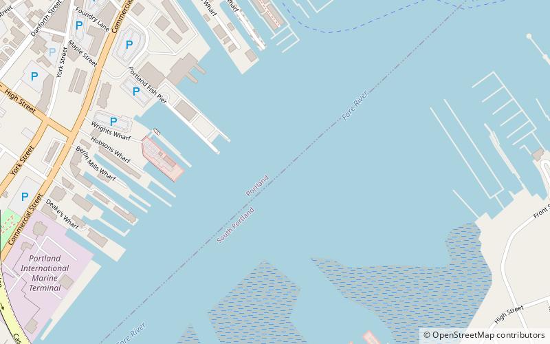
Map

Facts and practical information
The Port of Portland is a seaport located in Portland, Maine. It is the second-largest tonnage seaport in New England as well as one of the largest oil ports on the East Coast. It is the primary American port of call for Icelandic shipping company Eimskip. ()
Coordinates: 43°39'0"N, 70°15'4"W
Day trips
Port of Portland – popular in the area (distance from the attraction)
Nearby attractions include: Cross Insurance Arena, Time and Temperature Building, Monument Square, Portland Museum of Art.
Frequently Asked Questions (FAQ)
Which popular attractions are close to Port of Portland?
Nearby attractions include Portland Fish Pier, Portland (5 min walk), Bagheera, Portland (11 min walk), How Houses, Portland (12 min walk), Mariner's Church, Portland (12 min walk).
How to get to Port of Portland by public transport?
The nearest stations to Port of Portland:
Bus
Ferry
Bus
- York Street + State Street, Stop 1184 • Lines: Bus Route SMTT 21 Outbound (12 min walk)
- Congress St + Center St • Lines: 2, Brz (17 min walk)
Ferry
- Casco Bay Lines Ferry Terminal (12 min walk)


