Prairie State Park
Map

Map

Facts and practical information
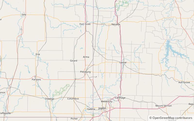
Prairie State Park is a public recreation area encompassing nearly 4,000 acres of grasslands and woodlands in Barton County, Missouri. The state park preserves much of the few remaining acres of tallgrass prairie in the state. The park features hiking trails, camping for backpackers, and a nature center. Captive wild bison and elk roam the park.The bison herd contains about 100 individuals as of spring 2021. ()
Established: 1980 (46 years ago)Area: 6.18 mi²Visitors per year: 42.3 thous.Coordinates: 37°30'44"N, 94°34'18"W
