Pueblo Community College, Pueblo
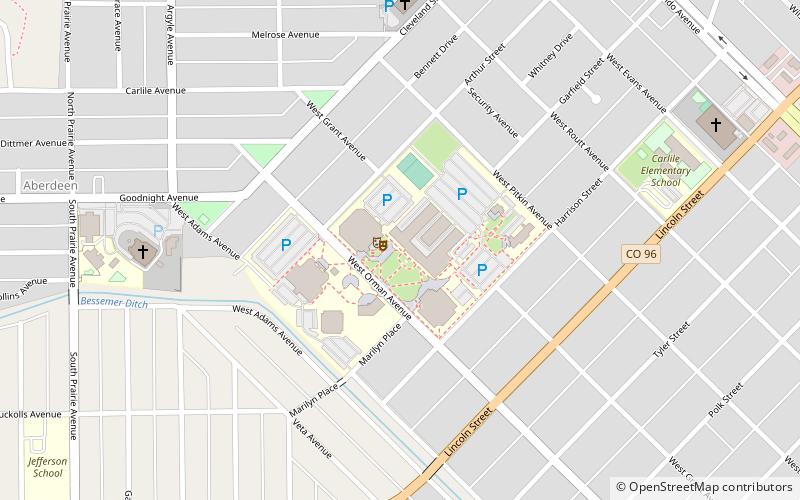
Map

Map

Facts and practical information
Pueblo Community College is a public community college in Pueblo, Colorado. ()
Established: 1933 (93 years ago)Coordinates: 38°15'47"N, 104°38'13"W
Day trips
Pueblo Community College – popular in the area (distance from the attraction)
Nearby attractions include: Pueblo Zoo, Pueblo City Park Carousel, Pueblo Railway Museum, St. John's Greek Orthodox Church.
Frequently Asked Questions (FAQ)
Which popular attractions are close to Pueblo Community College?
Nearby attractions include First Congregational Church, Pueblo (9 min walk), First Methodist Episcopal Church, Pueblo (24 min walk), First Methodist Episcopal Church, Pueblo (24 min walk).
How to get to Pueblo Community College by public transport?
The nearest stations to Pueblo Community College:
Bus
Bus
- Graham Avenue & W 13th Street • Lines: 3 (29 min walk)
- Francisco Street & W 13th Street • Lines: 3 (34 min walk)


