River Highlands State Park
Map

Map

Facts and practical information
River Highlands State Park is a public recreation area located on the west bank of the Connecticut River in the town of Cromwell, Connecticut. The 177-acre state park is managed by Connecticut Department of Energy and Environmental Protection. ()
Established: 1995 (31 years ago)Coordinates: 41°32'9"N, 72°54'36"W
Day trips
River Highlands State Park – popular in the area (distance from the attraction)
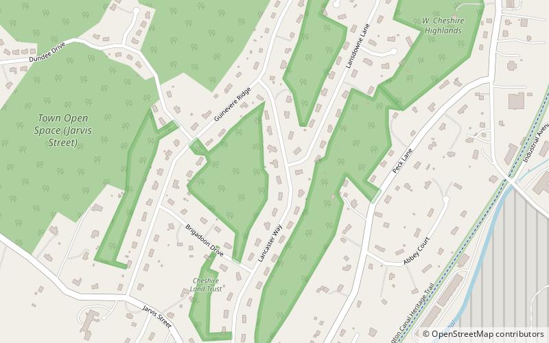
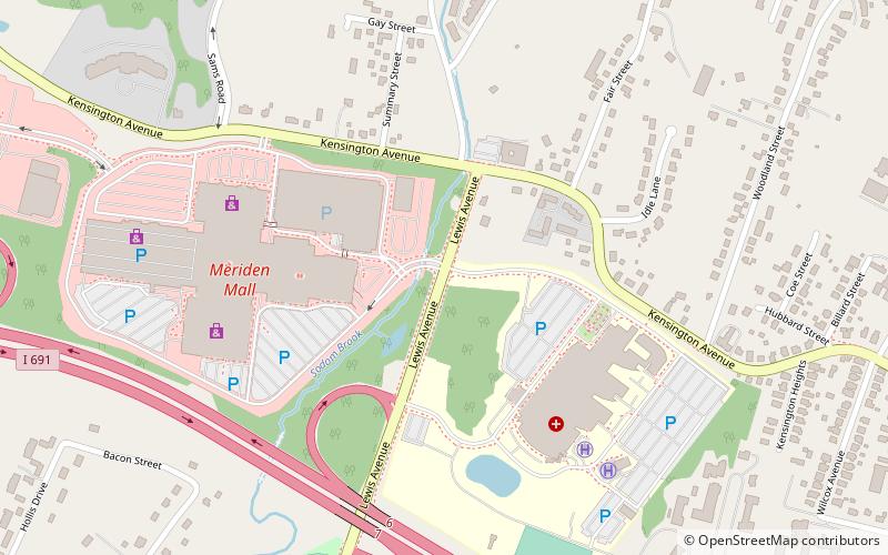
Nearby attractions include: Timberlin Golf Course, Meriden Mall, Roaring Brook Falls, First Congregational Church of Cheshire.


