Robertsville State Park
Map

Map

Facts and practical information
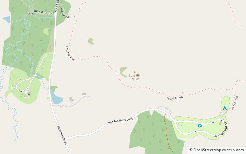
Robertsville State Park is a public recreation area bordering the Meramec River in unincorporated Robertsville in Franklin County, Missouri. The state park's 1,225 acres include a boat launch, campground, playground, picnic shelters, and the Spice Bush and Lost Hill hiking trails. The land was once owned by Edward James Roberts, who moved to the area at age 14 in 1831. ()
Established: 1979 (47 years ago)Coordinates: 38°25'24"N, 90°48'50"W
Day trips
Robertsville State Park – popular in the area (distance from the attraction)
Nearby attractions include: Route 66 Realtors, Shaw Nature Reserve, Gray Summit.


