San Bernard National Wildlife Refuge

Gallery (1)
Map
Map
Facts and practical information
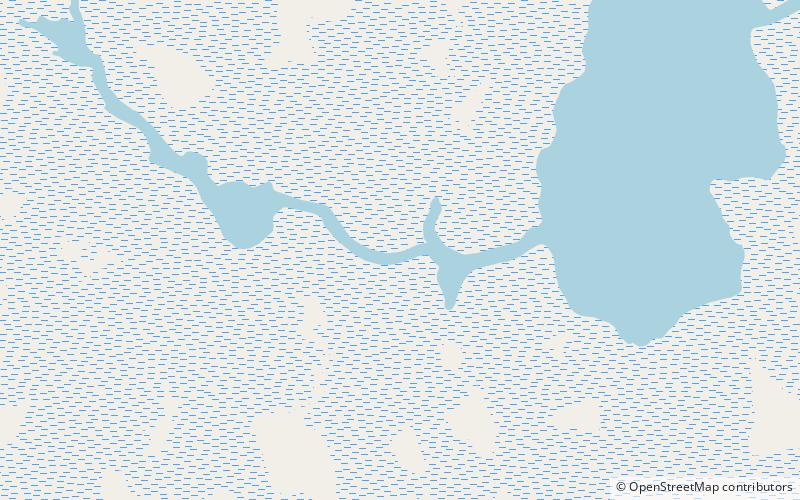
The San Bernard National Wildlife Refuge is a 45,730-acre wildlife conservation area along the coast of Texas, south of the towns of Sweeny and Brazoria, Texas. It encloses a bay behind a barrier island at the Gulf of Mexico. The refuge is located in southern Brazoria and eastern Matagorda counties. ()
Established: 1969 (57 years ago)Area: 52.72 mi²Coordinates: 28°51'15"N, 95°32'34"W