San Bernardino National Wildlife Refuge
Map

Map

Facts and practical information
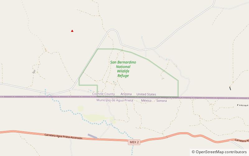
The San Bernardino National Wildlife Refuge is located on the U.S.-Mexico border in Cochise County, Arizona. Situated at 3,720 to 3,920 feet elevation in the bottom of a wide valley, the refuge encompasses a portion of the headwaters of the Yaqui River, which drains primarily western Chihuahua and eastern Sonora, Mexico. The 2,309-acre ranch was acquired by the U.S. Fish and Wildlife Service in 1982 to protect the water resources and provide habitat for endangered native fishes. ()
Established: 1982 (44 years ago)Coordinates: 31°20'34"N, 109°15'36"W
Day trips
San Bernardino National Wildlife Refuge – popular in the area (distance from the attraction)
Nearby attractions include: San Bernardino Ranch.

