St. Francois State Park

Map
Facts and practical information
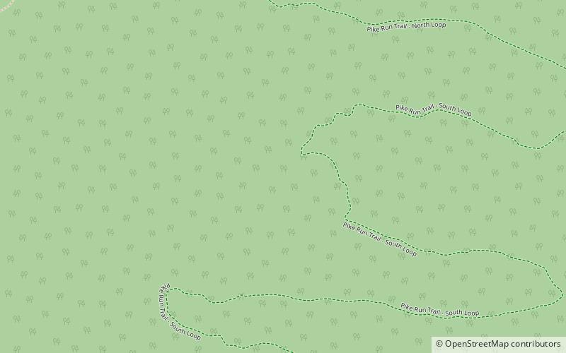
St. Francois State Park is a public recreation area occupying 2,735 acres of land five miles north of Bonne Terre in St. Francois County, Missouri. The state park features a campground, trails for hiking and horseback riding, and fishing on the Big River. The 49-acre Coonville Creek Natural Area, made up of Coonville Creek and its narrow valley, is found within the park's boundaries. ()
Established: 1964 (62 years ago)Coordinates: 37°58'18"N, 90°31'18"W
Day trips
St. Francois State Park – popular in the area (distance from the attraction)
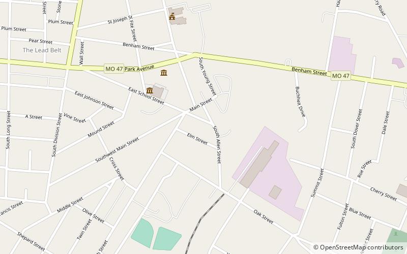
Nearby attractions include: The Space Museum, Bonne Terre Mine, St. Joe Lead Company Administration Building.


