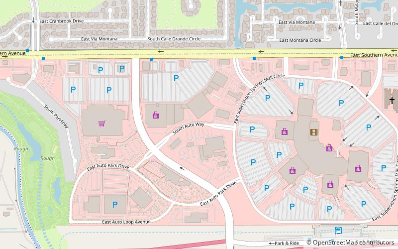
Superstition Springs Center, Mesa
Map
Facts and practical information
Superstition Springs Center is a shopping mall located in Mesa, Arizona. It is owned by Macerich, and was developed by Westcor. The anchors at the mall are Dillard's, JCPenney, and Macy's. The mall also has Picture Show as a junior anchor and a freestanding Cheesecake Factory. The mall features an outdoor amphitheatre and a fountain that converts into a stage featuring free concerts from May to August on Saturday evenings. The mall also serves as a transit center for Valley Metro Bus. ()
Stores: 170Coordinates: 33°23'29"N, 111°41'42"W
Getting there by public transportation
Public transportation stops near this location
- Bus
 Bus
Bus
- Calculate routeSuperstition Springs Transit Center 11 min walk
- Calculate route15856 23 min walk
Day trips


Frequently Asked Questions (FAQ)
How to get to Superstition Springs Center by public transport?
The nearest stations to Superstition Springs Center:
Bus
Bus
- Superstition Springs Transit Center (11 min walk)
- 15856 • Lines: 184 Nb (23 min walk)