Chief Standing Bear Memorial Bridge, Missouri National Recreational River
Map

Map

Facts and practical information
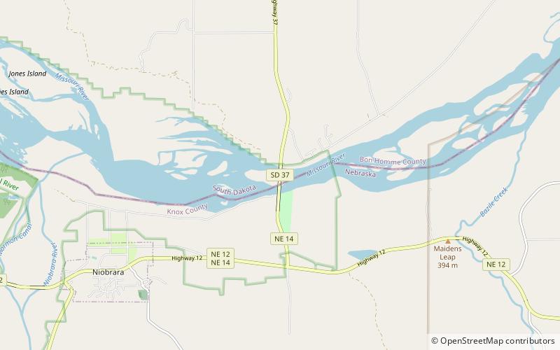
The Chief Standing Bear Memorial Bridge is a bridge across the Missouri River at the Nebraska-South Dakota border. Located near Niobrara, Nebraska, not far downstream from the confluence of the Niobrara River with the Missouri, it joins Nebraska Highway 14 to South Dakota Highway 37. ()
Length: 2953 ftWidth: 38 ftCoordinates: 42°46'4"N, 97°59'23"W
Address
Missouri National Recreational River
ContactAdd
Social media
Add
Day trips
Chief Standing Bear Memorial Bridge – popular in the area (distance from the attraction)
Nearby attractions include: Niobrara State Park.

