Castle Rock Mountain, Absaroka–Beartooth Wilderness
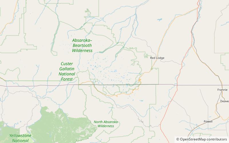
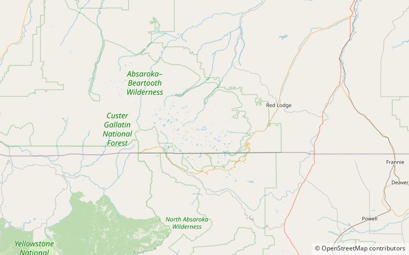
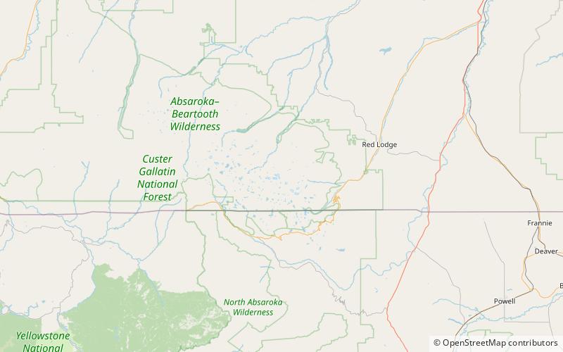
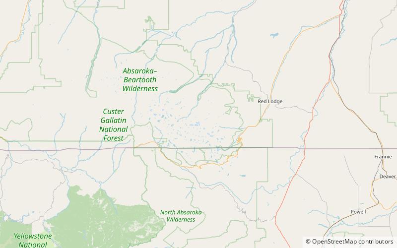
Map
Facts and practical information
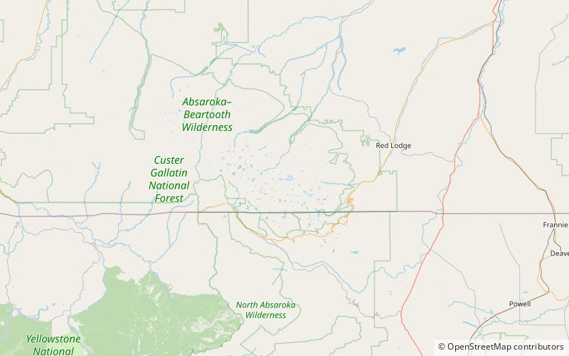
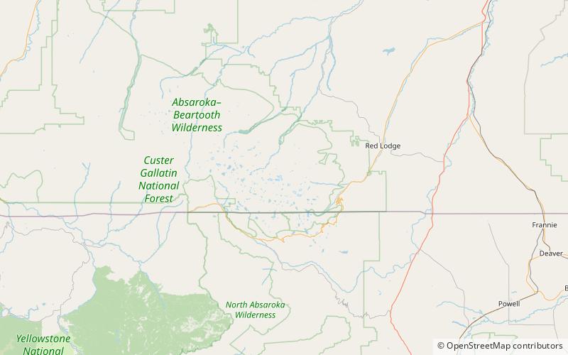
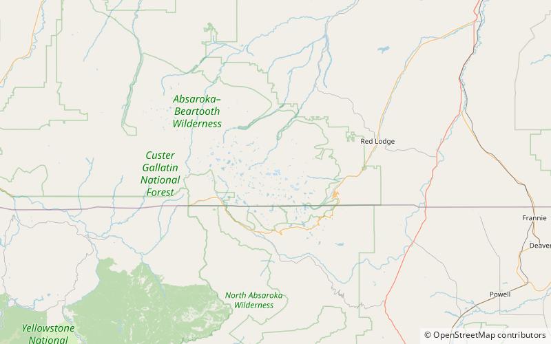
Castle Rock Mountain is in the Beartooth Mountains in the U.S. state of Montana. The peak is one of the tallest in the Beatooth Mountains, the tenth-tallest in Montana and is in the Absaroka-Beartooth Wilderness, on the border of Custer and Gallatin national forests. The nearest taller mountain to Castle Rock Mountain is Castle Rock Spire, 0.65 mi east. Castle Rock Mountain is flanked by the Sundance Glacier to the north and the Castle Rock Glacier to the south. ()
Elevation: 12406 ftProminence: 481 ftCoordinates: 45°5'54"N, 109°39'14"W
Address
Absaroka–Beartooth Wilderness
ContactAdd
Social media
Add
Day trips
Castle Rock Mountain – popular in the area (distance from the attraction)
Nearby attractions include: Castle Rock Glacier, Sundance Glacier, Castle Mountain, Castle Rock Spire.
Frequently Asked Questions (FAQ)
Which popular attractions are close to Castle Rock Mountain?
Nearby attractions include Castle Rock Glacier, Absaroka–Beartooth Wilderness (11 min walk), Sundance Glacier, Absaroka–Beartooth Wilderness (12 min walk), Castle Rock Spire, Absaroka–Beartooth Wilderness (14 min walk), Salo Mountain, Absaroka–Beartooth Wilderness (18 min walk).
