Bronson Park, Kalamazoo
Map

Map

Facts and practical information
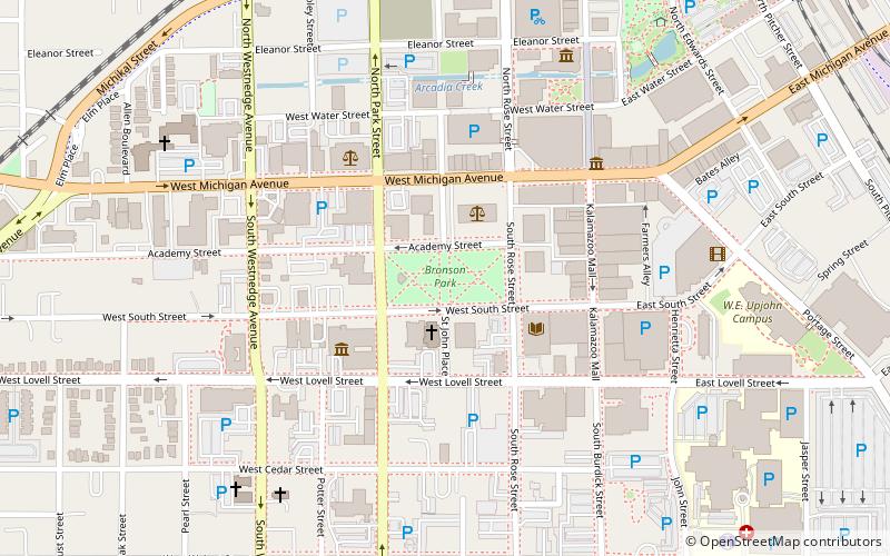
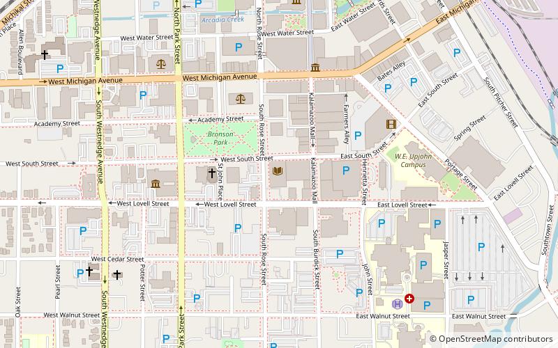
Bronson Park Historic District is a historic district in Kalamazoo, Michigan, consisting of Bronson Park and the surrounding government, religious, and civic buildings. It is roughly bounded by South Rose, South Park, West Lovell, and West Michigan Avenues. The district was listed on the National Register of Historic Places in 1983. ()
Elevation: 781 ft a.s.l.Coordinates: 42°17'25"N, 85°35'10"W
Address
btw South St. & Academy St.Kalamazoo Central Business DistrictKalamazoo 49007
Contact
(269) 349-7775
Social media
Day trips
Bronson Park – popular in the area (distance from the attraction)
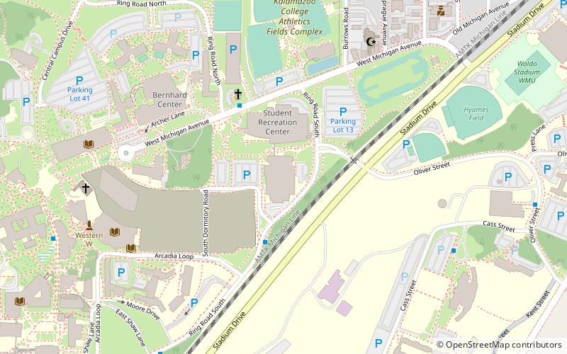
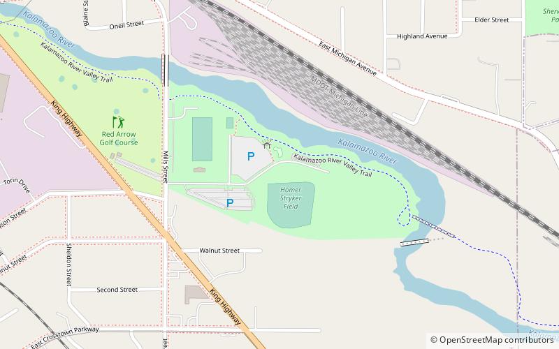
Nearby attractions include: Red Arrow Golf Course, University Arena, Kalamazoo Institute of Arts, Kalamazoo Mall.
Frequently Asked Questions (FAQ)
Which popular attractions are close to Bronson Park?
Nearby attractions include Kalamazoo Public Library, Kalamazoo (3 min walk), Kalamazoo Institute of Arts, Kalamazoo (3 min walk), State Theater, Kalamazoo (5 min walk), Kalamazoo Valley Museum, Kalamazoo (6 min walk).
How to get to Bronson Park by public transport?
The nearest stations to Bronson Park:
Bus
Train
Bus
- Kalamazoo Transportation Center (10 min walk)
Train
- Kalamazoo (10 min walk)


