Downtown Detroit, Detroit
Map
Gallery
Facts and practical information
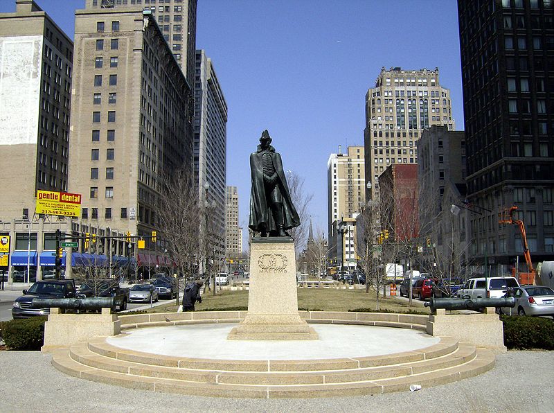
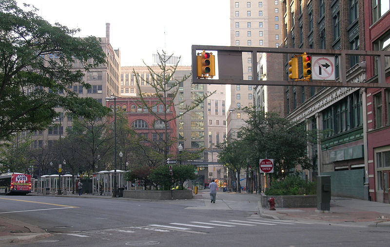
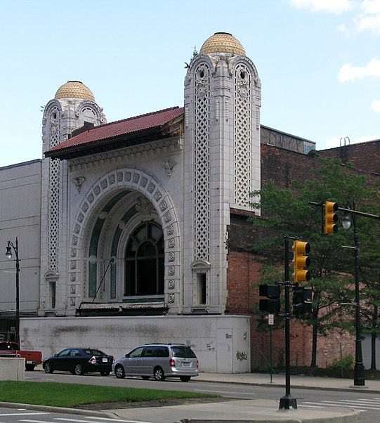
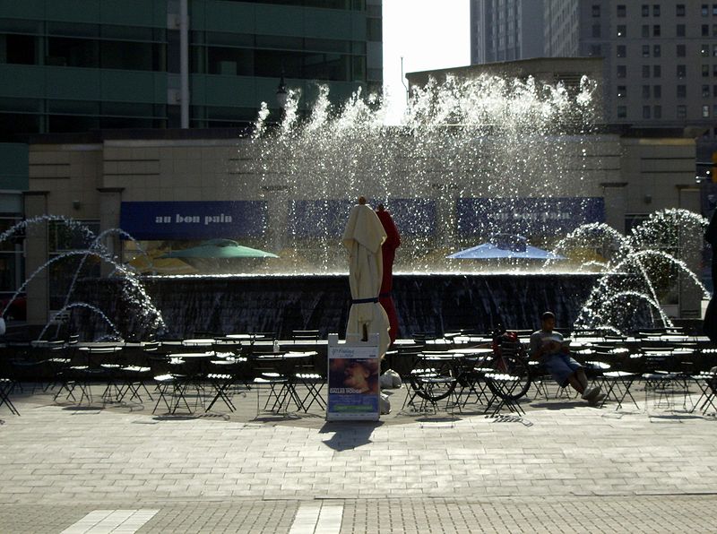
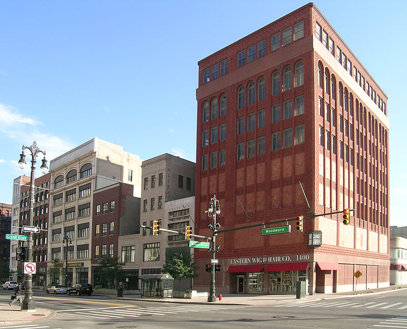
Downtown Detroit is the central business district and a residential area of the city of Detroit, Michigan, United States. Locally, downtown tends to refer to the 1.4 square mile region bordered by M-10 to the west, Interstate 75 to the north, I-375 to the east, and the Detroit River to the south. Although, it may also refer to the Greater Downtown area, a 7.2 square mile region that includes surrounding neighborhoods such as Midtown, Corktown, Rivertown, and Woodbridge. ()
Area: 1.4 mi²Coordinates: 42°20'2"N, 83°2'52"W
Address
Downtown DetroitDetroit
ContactAdd
Social media
Add
Day trips
Downtown Detroit – popular in the area (distance from the attraction)
Nearby attractions include: Campus Martius Park, Detroit Opera House, Broadway Avenue Historic District, Music Hall Center for the Performing Arts.
Frequently Asked Questions (FAQ)
Which popular attractions are close to Downtown Detroit?
Nearby attractions include Frank & Seder Building, Detroit (2 min walk), 1212 Griswold, Detroit (3 min walk), The Albert, Detroit (3 min walk), Woodward Bldg, Detroit (3 min walk).
How to get to Downtown Detroit by public transport?
The nearest stations to Downtown Detroit:
Bus
Light rail
Tram
Bus
- Woodward / Grand River • Lines: 04 (2 min walk)
- Randolph / Monroe • Lines: 06, 530, 563 (5 min walk)
Light rail
- Cadillac Center • Lines: Dpm (3 min walk)
- Broadway • Lines: Dpm (3 min walk)
Tram
- Campus Martius • Lines: QLine (3 min walk)
- Grand Circus Park • Lines: QLine (6 min walk)


