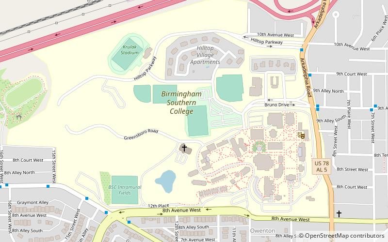
Panther Stadium, Birmingham
Map
Facts and practical information
General Charles C. Krulak Stadium is located in Birmingham, Alabama, and serves as the home stadium for the Birmingham–Southern Panthers football, lacrosse, cross country, and track and field teams. The stadium has a maximum seating capacity of 1,600, and opened for the homecoming football game against Sewanee on November 8, 2008. The 49-0 Panthers victory saw an overflow crowd of 3,575 in attendance. ()
Capacity: 1600Coordinates: 33°30'56"N, 86°51'19"W
Address
Five Points West (Bush Hills)Birmingham
ContactAdd
Social media
Add
Getting there by public transportation
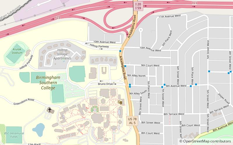
Public transportation stops near this location
- Bus
 Bus
Bus
- Calculate routeNE Corner of Graymont Av W & 8th Av W 8 min walk
- Calculate routeNE Corner of 9th Av N & Arkadelphia Rd 9 min walk
- Calculate routeSE Corner of Arkadelphia Rd & 9th Ct W 9 min walk
Day trips


Frequently Asked Questions (FAQ)
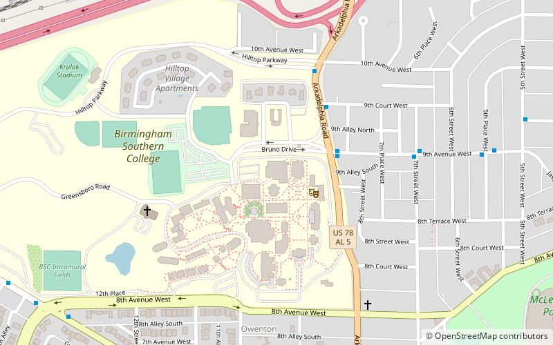
Which popular attractions are close to Panther Stadium?
Nearby attractions include Birmingham-Southern College, Birmingham (1 min walk), Southern Environmental Center, Birmingham (7 min walk), Legion Field, Birmingham (20 min walk), First Baptist Church, Birmingham (21 min walk).
How to get to Panther Stadium by public transport?
The nearest stations to Panther Stadium:
Bus
Bus
- NE Corner of Graymont Av W & 8th Av W • Lines: 38 (8 min walk)
- NE Corner of 9th Av N & Arkadelphia Rd • Lines: 6 (9 min walk)