San Pedro Valley, San Pedro Riparian National Conservation Area

Gallery (1)
Map
Map
Facts and practical information
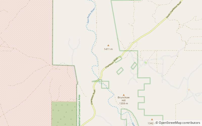
The San Pedro Valley of western Cochise County Arizona, is a 50-mile-long, mostly north–south valley, trending northwesterly. It drains from the state of Sonora, Mexico, through Benson, Arizona, and the southeast of the Rincon Mountains. ()
Length: 50 miCoordinates: 31°38'9"N, 110°10'23"W
Address
San Pedro Riparian National Conservation Area
ContactAdd
Social media
Add
Day trips
San Pedro Valley – popular in the area (distance from the attraction)
Nearby attractions include: Murray Springs Clovis Site.
