Ch-paa-qn Peak, Lolo National Forest

Gallery (1)
Map
Map
Facts and practical information
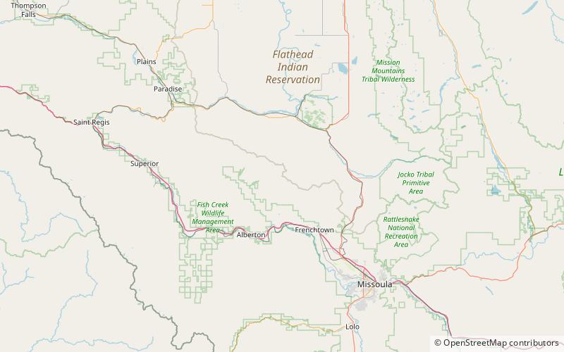
Ch-paa-qn Peak is in Missoula County, Montana, United States. It is west of Missoula, Montana. Ch-paa-qn is a Salish word meaning "shining peak". ()
Elevation: 7989 ftCoordinates: 47°9'28"N, 114°21'22"W
Address
Lolo National Forest
ContactAdd
Social media
Add