Devils Bedstead East, Salmon–Challis National Forest

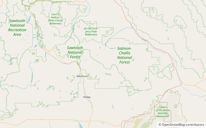
Map
Facts and practical information
Devil's Bedstead East, at 11,865 feet above sea level is the fifth-highest peak in the Pioneer Mountains of the U.S. state of Idaho. The peak is located Salmon-Challis National Forest in Custer County about 1.5 miles north of the Blaine County border and 1.75 miles north-northeast of Goat Mountain. It is the 21st-highest peak in Idaho. ()
Elevation: 11865 ftProminence: 825 ftCoordinates: 43°46'27"N, 114°8'31"W
Address
Salmon–Challis National Forest
ContactAdd
Social media
Add
Day trips
Devils Bedstead East – popular in the area (distance from the attraction)
Nearby attractions include: Hyndman Peak, Cobb Peak, Old Hyndman Peak, Salzburger Spitzl.
Frequently Asked Questions (FAQ)
Which popular attractions are close to Devils Bedstead East?
Nearby attractions include Goat Mountain, Salmon–Challis National Forest (1 min walk), Salzburger Spitzl, Sawtooth National Forest (22 min walk).


