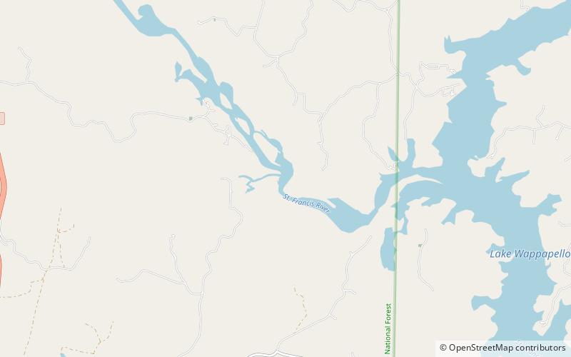
Lake Wappapello, Mark Twain National Forest
Map

Map

Facts and practical information
Lake Wappapello is a reservoir on the St. Francis River, formed by Wappapello Dam. Created in 1941, this 8,400-acre lake is located 120 miles south of St. Louis, Missouri. The reservoir lies mostly in Wayne County, but its southernmost reaches extend into northern Butler County, both in Missouri. Both the dam and reservoir are owned and operated for the public by the United States Army Corps of Engineers. ()
Elevation: 358 ft a.s.l.Coordinates: 36°58'60"N, 90°22'42"W
Address
Mark Twain National Forest
ContactAdd
Social media
Add
