Emory Point, Atlanta
Map
Gallery

Facts and practical information
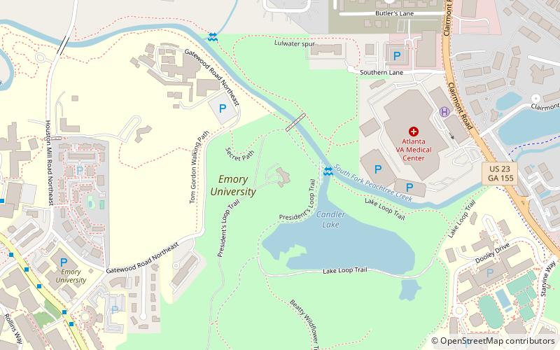
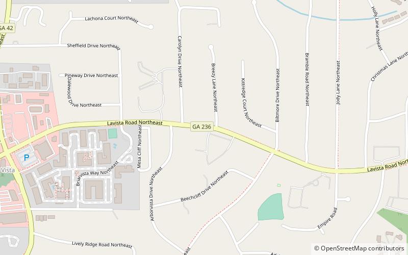
Emory Point is a mixed-use development on Clifton Road in Druid Hills, unincorporated DeKalb County, Georgia, adjacent to Atlanta. It is across Clifton Road from the Centers for Disease Control and surrounded on three sides by the campus of Emory University. ()
Opened: 2012 (14 years ago)Coordinates: 33°48'5"N, 84°19'40"W
Day trips
Emory Point – popular in the area (distance from the attraction)
Nearby attractions include: David J. Sencer CDC Museum, Michael C. Carlos Museum, Donna and Marvin Schwartz Center for Performing Arts, Druid Hills.
Frequently Asked Questions (FAQ)
Which popular attractions are close to Emory Point?
Nearby attractions include David J. Sencer CDC Museum, Atlanta (4 min walk), Emory University, Atlanta (14 min walk), Candler School of Theology - Emory University, Atlanta (17 min walk), Lullwater House, Atlanta (18 min walk).
How to get to Emory Point by public transport?
The nearest stations to Emory Point:
Bus
Bus
- Clifton - CDC • Lines: Cctma (5 min walk)


