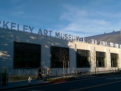
Edwards Stadium, Berkeley
Map
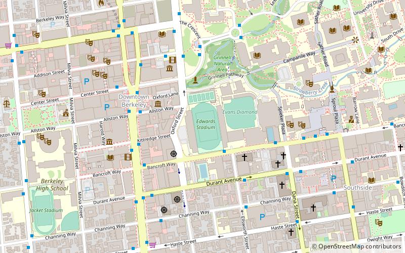
Map

Facts and practical information
Edwards Stadium is the track and field and soccer venue for the California Golden Bears, the athletic teams of the University of California, Berkeley. ()
Coordinates: 37°52'8"N, 122°15'54"W
Address
Berkeley (University of California-Berkeley)Berkeley
ContactAdd
Social media
Add
Day trips
Edwards Stadium – popular in the area (distance from the attraction)
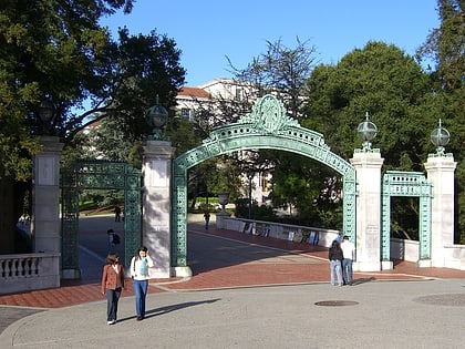
Nearby attractions include: Telegraph Avenue, Berkeley Repertory Theatre, The UC Theatre, Sather Gate.
Frequently Asked Questions (FAQ)
Which popular attractions are close to Edwards Stadium?
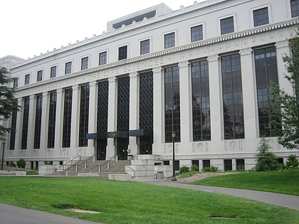
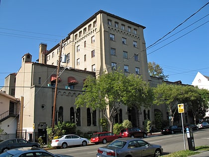
Nearby attractions include David Brower Center, Berkeley (2 min walk), Magnes Collection of Jewish Art and Life, Berkeley (4 min walk), Berkeley Art Museum and Pacific Film Archive, Berkeley (4 min walk), Berkeley City Club, Berkeley (4 min walk).
How to get to Edwards Stadium by public transport?
The nearest stations to Edwards Stadium:
Bus
Metro
Bus
- Bancroft Way & Ellsworth Street • Lines: 36, 51B, 52, 6, 79, 851, F, N, P (2 min walk)
- Allston Way & Shattuck Avenue • Lines: 67, 7 (4 min walk)
Metro
- Downtown Berkeley • Lines: Orange, Red (5 min walk)
- North Berkeley • Lines: Orange, Red (28 min walk)


