Catoctin Trail, Gambrill State Park
Map

Map

Facts and practical information
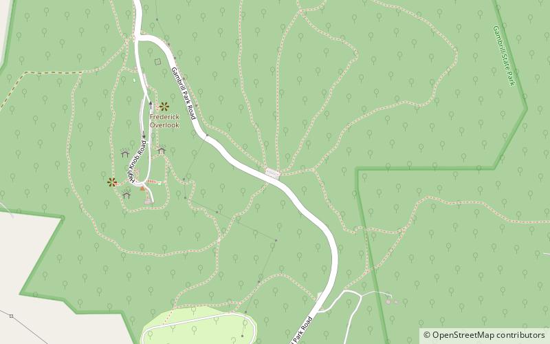
The Catoctin National Recreation Trail is a 26.6 mi hiking trail that traverses federal, state, and municipal woodlands along the northern half of Catoctin Mountain in Frederick County in central Maryland, USA. The hilly terrain is typical of western Maryland with large sections canopied under dense forest cover. ()
Length: 26.6 miMaximum elevation: 1760 ftMinimal elevation: 600 ftCoordinates: 39°27'44"N, 77°29'28"W
Day trips
Catoctin Trail – popular in the area (distance from the attraction)
Nearby attractions include: Nymeo Field at Harry Grove Stadium, Francis Scott Key Mall, All Saints Episcopal Church, Schifferstadt.


