SoDo, Seattle
Map
Gallery
Facts and practical information
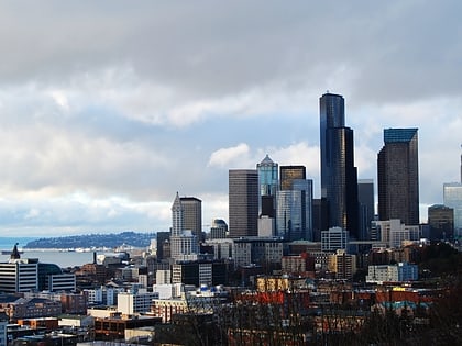
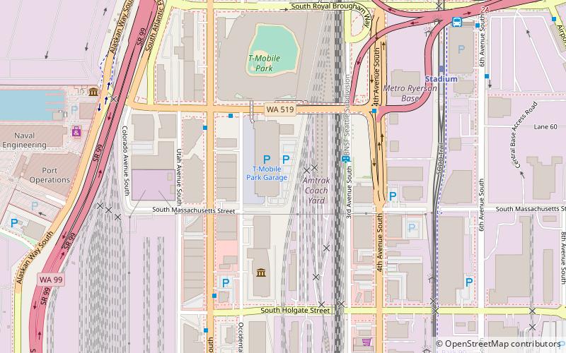
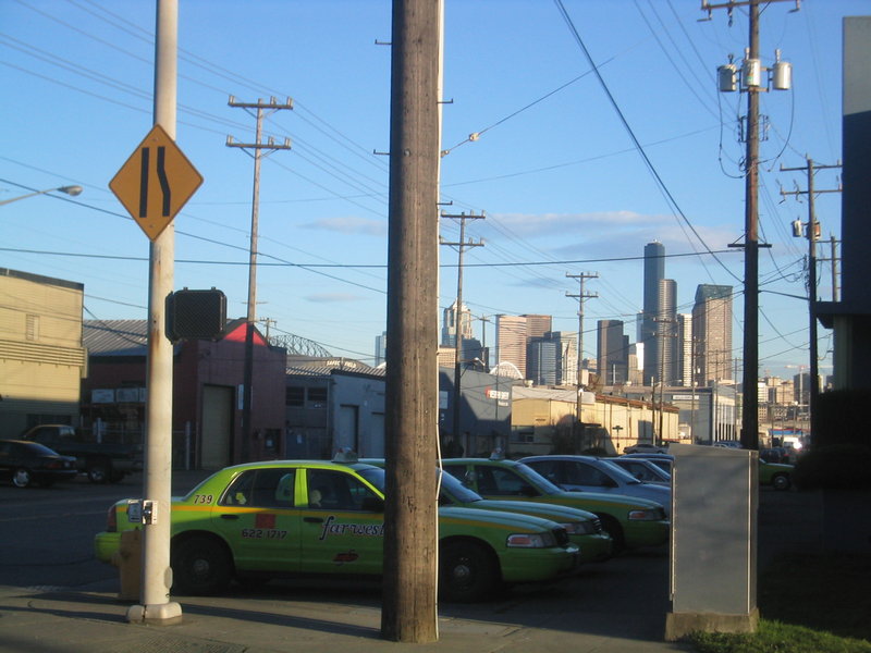
SoDo, alternatively SODO, is a neighborhood in Seattle, Washington, that makes up part of the city's Industrial District. It is bounded on the north by South King Street, beyond which is Pioneer Square; on the south by South Spokane Street, beyond which is more of the Industrial District; on the west by the Duwamish River, across which is West Seattle; and on the east by Metro Transit's Downtown Seattle Transit Tunnel and SoDo Busway, beyond which is the International District and the rest of the Industrial District. ()
Coordinates: 47°35'20"N, 122°19'55"W
Day trips
SoDo – popular in the area (distance from the attraction)
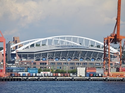
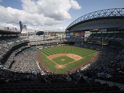
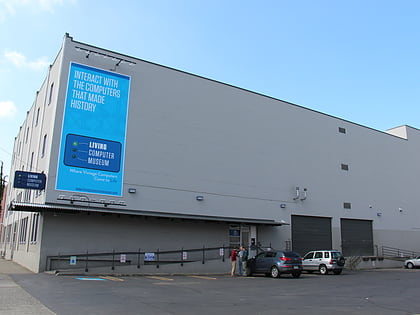
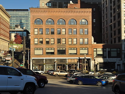
Nearby attractions include: Lumen Field, Safeco Field, Living Computers: Museum + Labs, Collins Pub.
Frequently Asked Questions (FAQ)
Which popular attractions are close to SoDo?
Nearby attractions include Dockside Cannabis Museum, Seattle (5 min walk), Mariners Team Store, Seattle (6 min walk), Coast Guard Museum Northwest, Seattle (8 min walk), Alaskan Way, Seattle (9 min walk).
How to get to SoDo by public transport?
The nearest stations to SoDo:
Bus
Light rail
Train
Tram
Trolleybus
Ferry
Bus
- Edgar Martinez Dr S & Occidental Ave S • Lines: 21, 37 (3 min walk)
- 1st Ave S & S Atlantic St • Lines: 21 (4 min walk)
Light rail
- Stadium • Lines: 1 (7 min walk)
- Sodo • Lines: 1 (15 min walk)
Train
- Seattle King Street (16 min walk)
Tram
- Occidental Mall • Lines: First Hill Streetcar (19 min walk)
- 5th & Jackson • Lines: First Hill Streetcar (20 min walk)
Trolleybus
- Prefontaine Pl S & Yesler Way • Lines: 1, 13, 49 (23 min walk)
- 3rd Ave & Columbia St • Lines: 1, 13, 3, 4, 49 (27 min walk)
Ferry
- West Seattle, Vashon Island Water Taxi • Lines: 339, West Seattle-Seattle (24 min walk)
- Seattle • Lines: Seattle-Bremerton, Seattle-Winslow (27 min walk)

